
West MacDonnell RangesBirthday Waterhole Ellery Creek Big Hole Finke Two Mile Glen Helen Gorge Jay Creek John Flynn’s Grave Historical Reserve Laura Creek Larapinta Drive Mount Sonder / Rwetyepme Namatjira Drive The Neil Hargrave Lookout Ochre Pits Ormiston Gorge & Pound Point Howard Lookout Redbank Gorge Simpsons Gap
Like a wise old person, the mountain watches over an ever-changing desert landscape keeping the stories of an ancient Arrernte Aboriginal culture.
Name in honour of the German botanist Wilhelm Otto Sonder, Mount Sonder (at 1,380 metres above sea level), is the fourth highest point in Central Australia, after Mt Giles (1,389 metres), Mt Edwards (1,423 metres) and Mt Zeil (1,531 metres). Mount Zeil is the tallest mountain west of the Great Dividing Range and the highest peak in the Northern Territory.
To the local Western Arrernte Aboriginal People the Mount Sonder area, or Rwetyepme (roo – choop – ma), is criss-crossed with the tracks of their dreamtime ancestors. The main story for Rwetyepme is the Man / Euro (Hill Kangaroo) ‘dreaming’, told on signs at Redbank Gorge.
Mount Sonder itself, also holds significance to the local Aboriginal People. The shape of the mountain is said to look like the profile of a pregnant women lying on her back, although the meaning and significance of the story is not revealed.
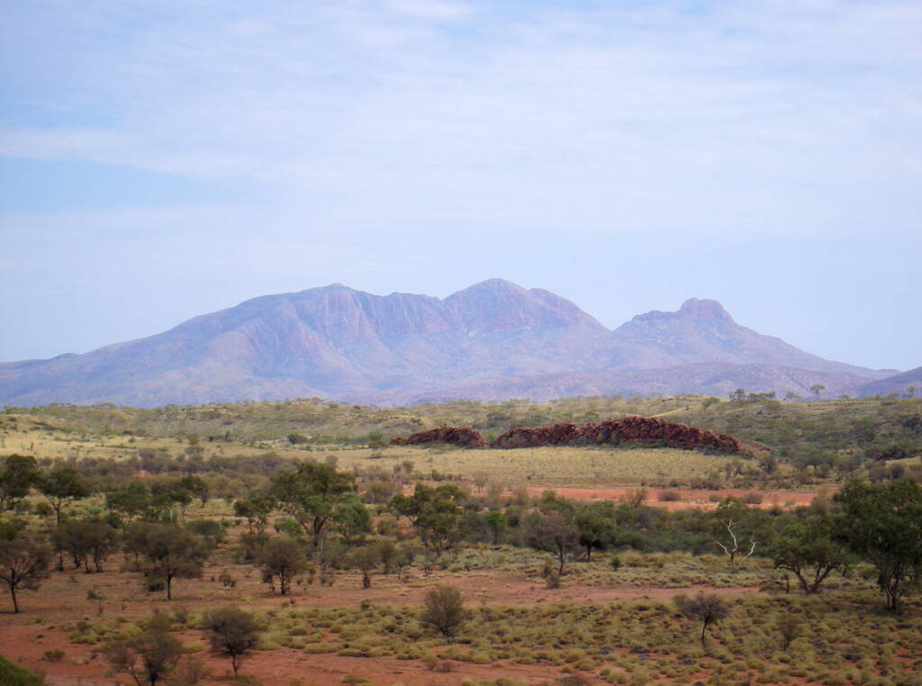
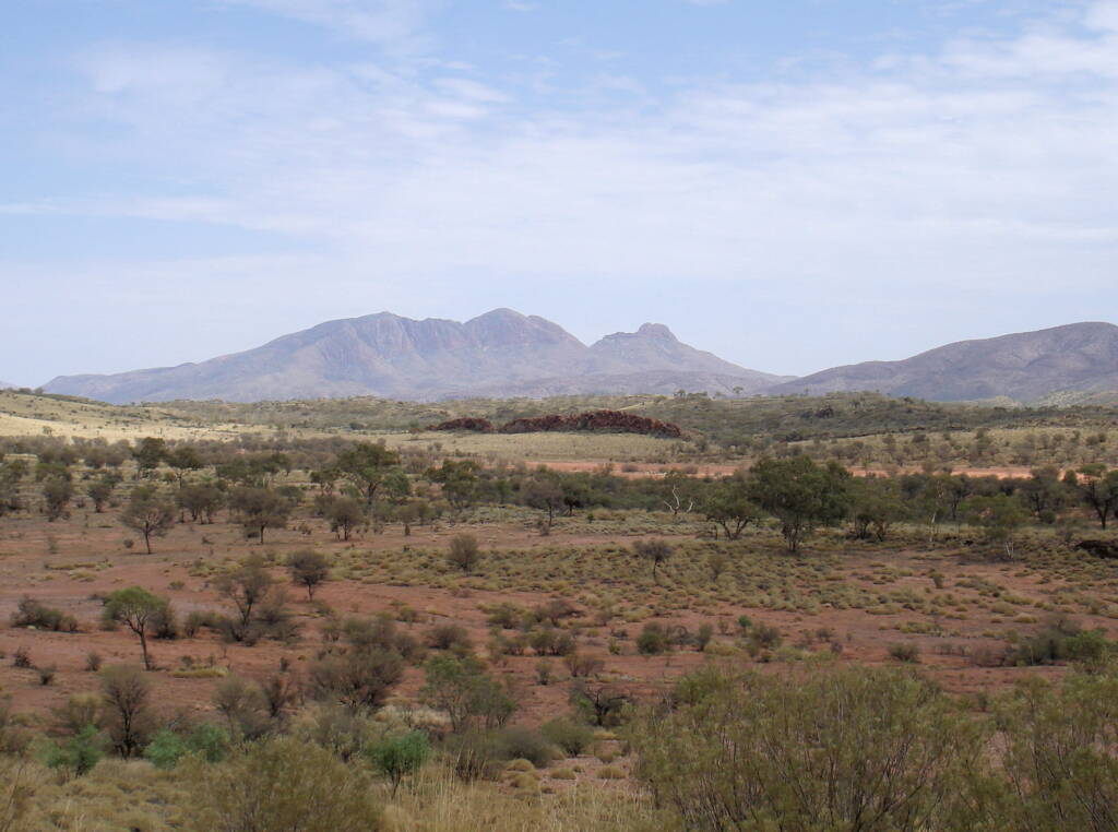
The colours on the face of Mount Sonder vary throughout the day, from a spectacular fiery red at sunrise to a deep purple in the early afternoon. These luminescent colours were captured and made famous by the Arrernte watercolourist Albert Namatjira during the 1940s and 1950s.
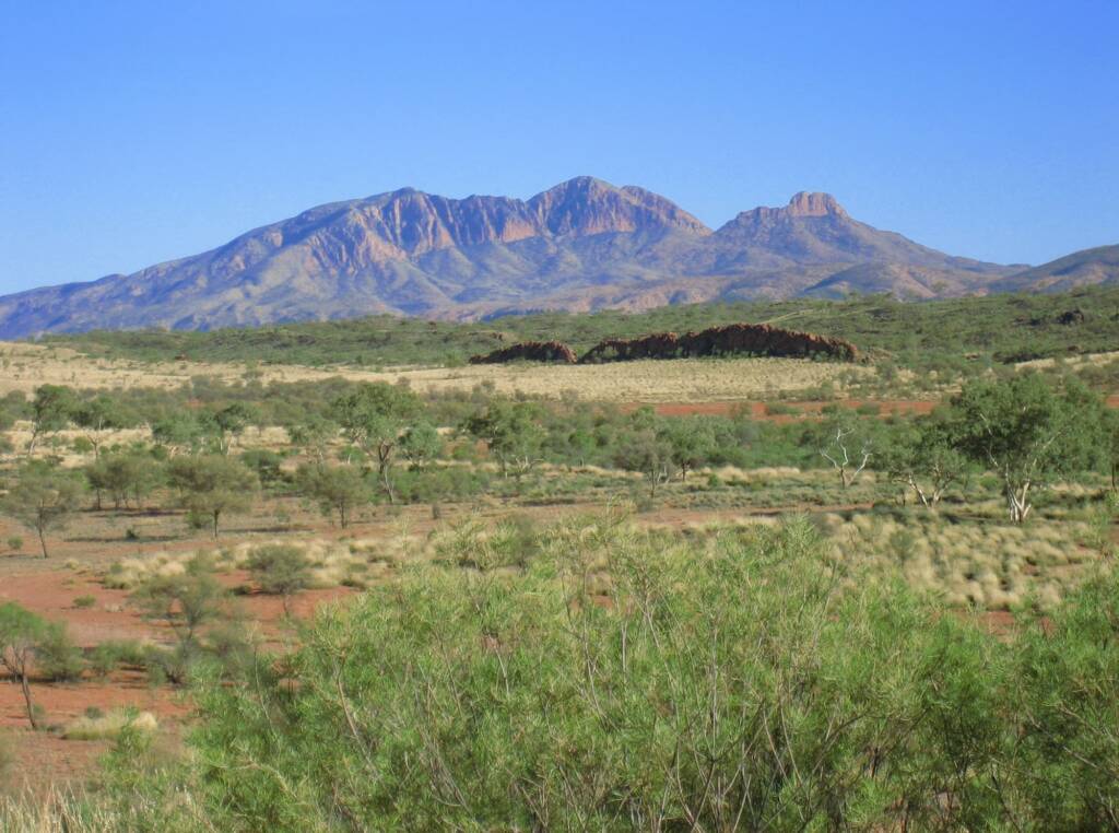
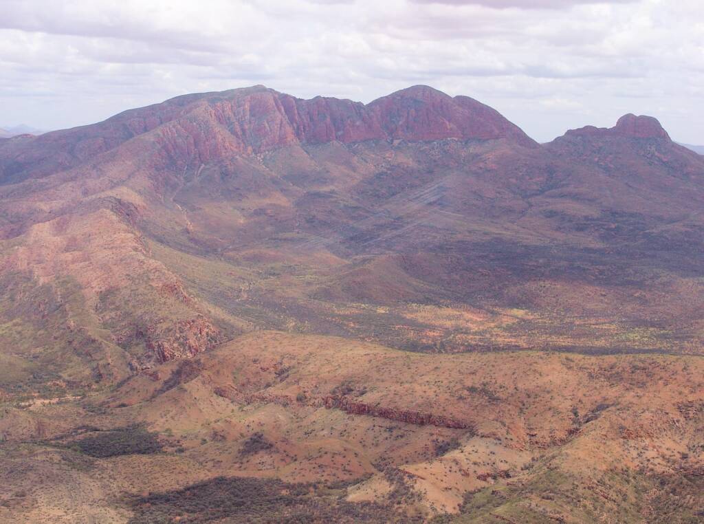
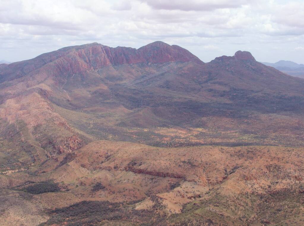
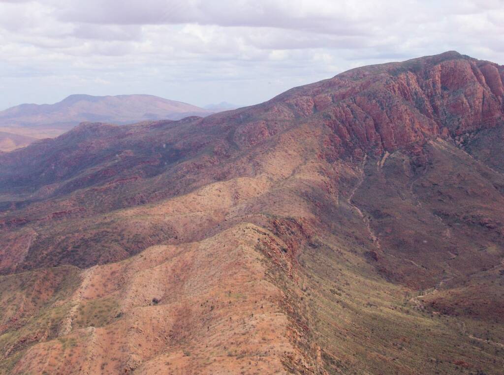
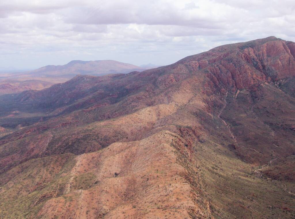
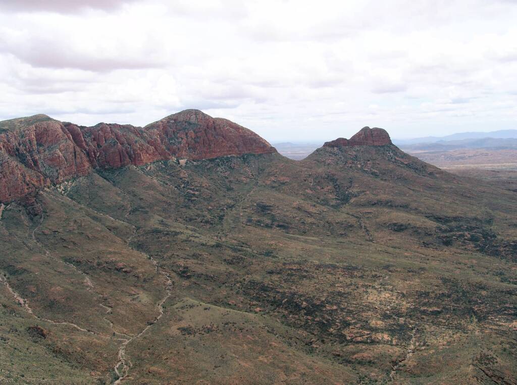
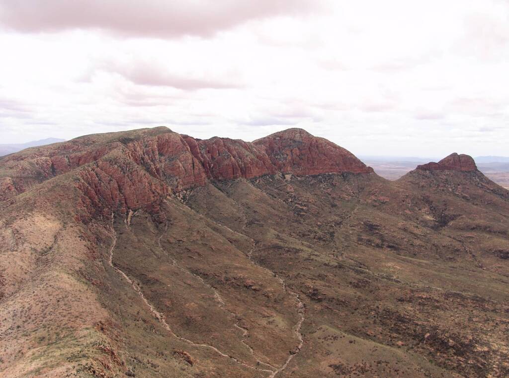
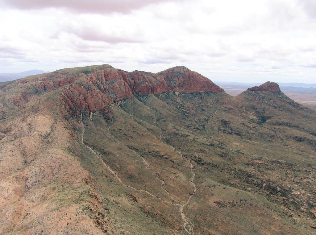
When viewing Mount Sonder from the Mount Sonder Lookout, to the right are the Chewings Range, Heavitree Range, collectively part of the MacDonnell Ranges, that includes the West MacDonnell Range.
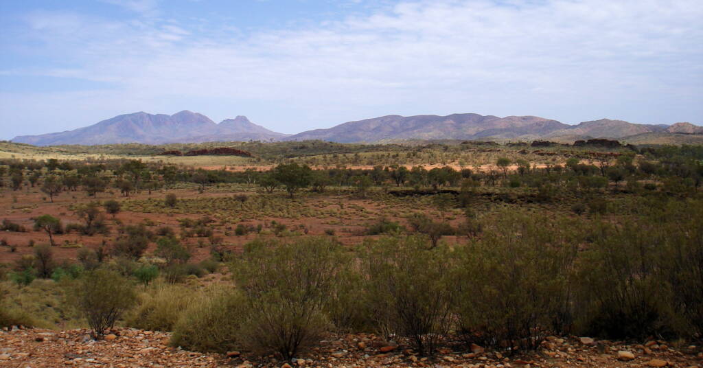
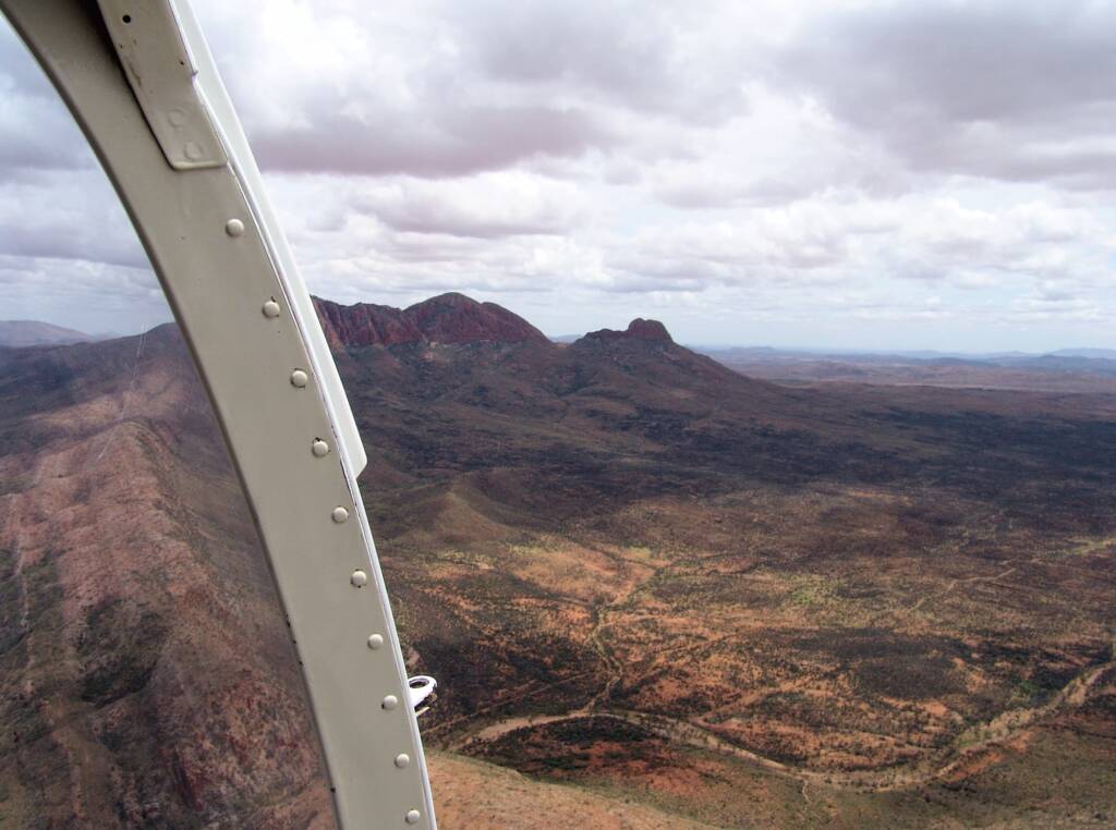
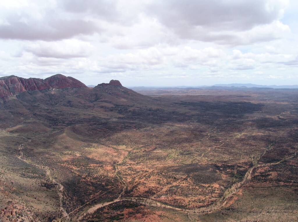
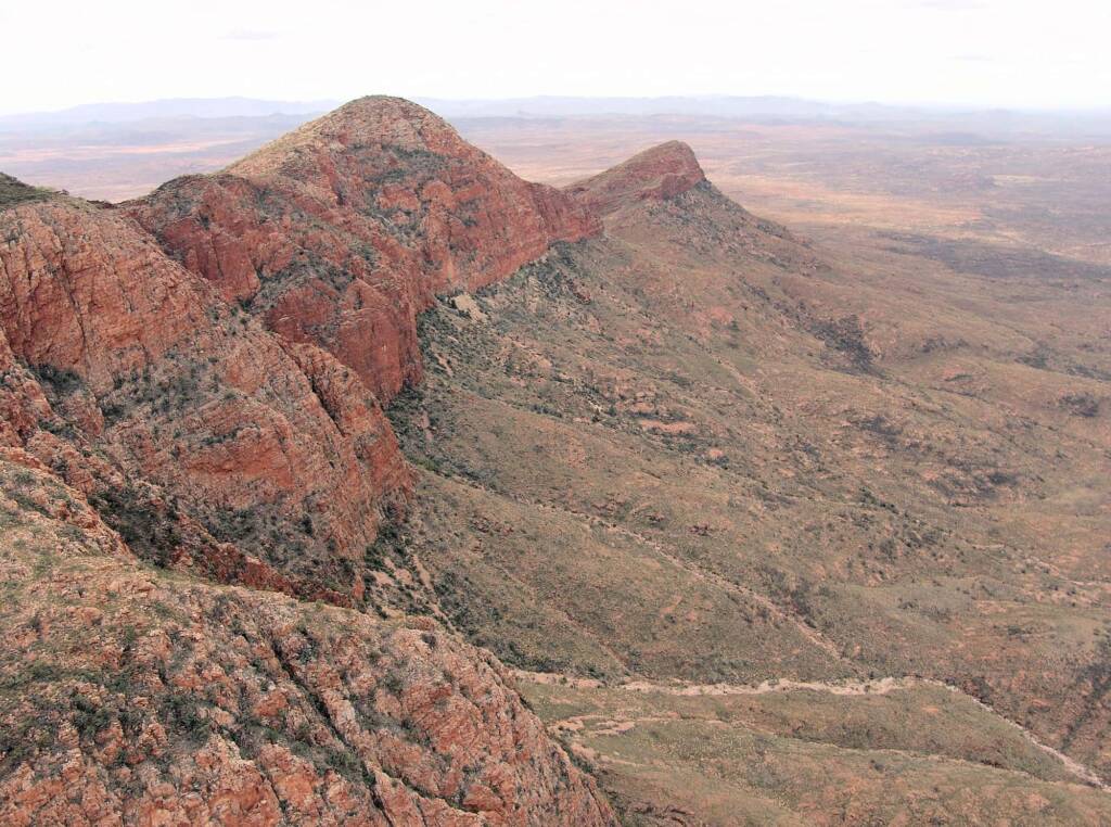
Following is over the Finke River to the right of Mount Sonder and the ranges beyond.
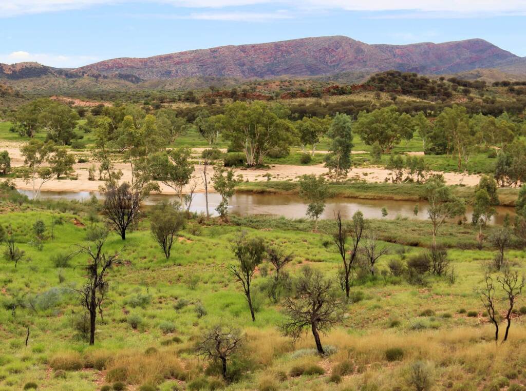
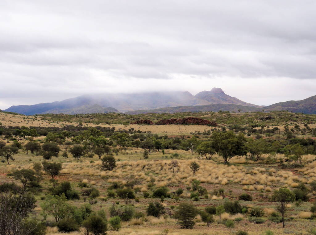
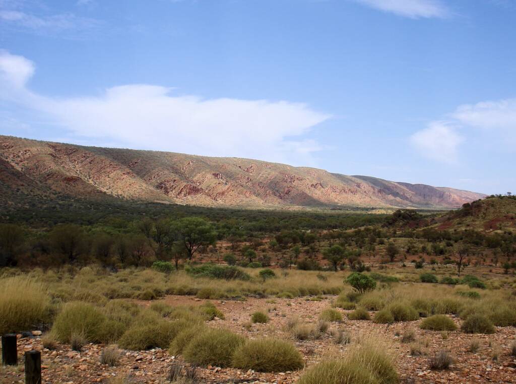
Following are images of Mount Sonder and surrounds taken from the Mount Sonder Lookout.
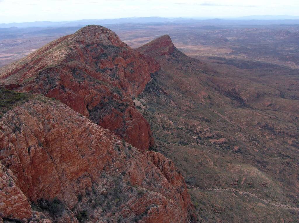
The following views of Mount Sonder from the air in a helicopter ride on a cloudy day.
Redbank Gorge
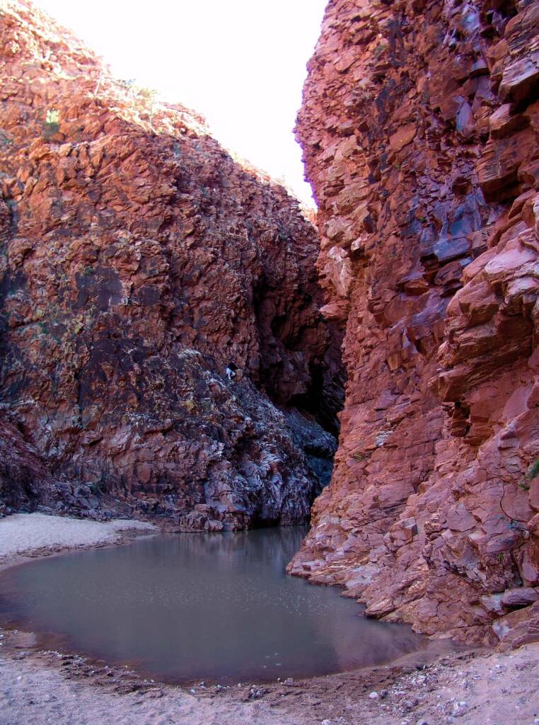
Polished quartzite walls close over your head to block out the sky creating an atmosphere of cathedral calm. Entry to the gorge usually blocked by a deep, cold (even in summer) waterhole which can be crossed using an air bed.
Redbank is the start of the 8 hour return walk to the summit of Mount Sonder. You pass two very pleasant bush camping areas along the Redbank Gorge access road.
In the following image of Redbank Gorge you can just see a person half-way up the rock face.
Source: NT Parks and Wildlife Service park signage
Footnote & References
- Tjoritja / West MacDonnell National Park – include fact sheet and map, Parks and reserves, NT Government, https://nt.gov.au/parks/find-a-park/tjoritja-west-macdonnell-national-park
- Global Goddess Oracle: The Goddess in Australia, (the following link is no longer active – see our stored copy) http://globalgoddessoracle.com/WinterSolstice2006/australia.htm
West MacDonnell RangesBirthday Waterhole Ellery Creek Big Hole Finke Two Mile Glen Helen Gorge Jay Creek John Flynn’s Grave Historical Reserve Laura Creek Larapinta Drive Mount Sonder / Rwetyepme Namatjira Drive The Neil Hargrave Lookout Ochre Pits Ormiston Gorge & Pound Point Howard Lookout Redbank Gorge Simpsons Gap
MacDonnell RangesEast MacDonnell Ranges West MacDonnell Ranges Tjoritja West MacDonnell National Park