West MacDonnell RangesBirthday Waterhole Ellery Creek Big Hole Finke Two Mile Glen Helen Gorge Jay Creek John Flynn’s Grave Historical Reserve Laura Creek Larapinta Drive Mount Sonder / Rwetyepme Namatjira Drive The Neil Hargrave Lookout Ochre Pits Ormiston Gorge & Pound Point Howard Lookout Redbank Gorge Simpsons Gap
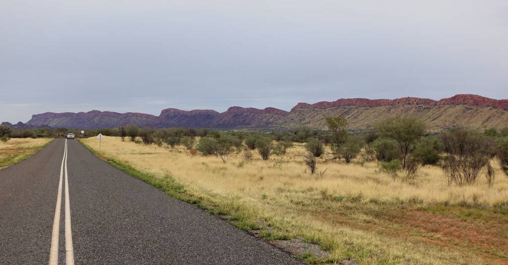
Starting from Alice Springs, the Larapinta Drive in the Northern Territory is the “State route 6” that runs in a westerly direction through West MacDonnell Ranges and the Tjoritja West MacDonnell National Park, taking in the community of Hermannsburg, then continuing on to Kings Canyon, Watarrka National Park.

From Kings Canyon, the road becomes Luritja Road and continues south to the Lasseter Highway. The Larapinta Drive is sealed from Alice Springs to Hermannsberg and (at the time of writing this) unsealed the rest of the way to Kings Canyon. There are talks of eventually sealing the rest of the drive.

Along the length of the Larapinta Drive, a number of creek tributaries and rivers cross the road, and during severe rainfall can cut access along the Larapinta Drive. The ferocity of some of the torrents will wash sand, boulders, rocks and tree debris and there have been occasions where motorists have been wash down the rivers. Care should be taken and all warnings heeded.

Larapinta is the local Arrernte name for the Finke River. The Finke River system is a major watercourse in the area. The Finke and a number of its tributaries cut across Larapinta Drive.
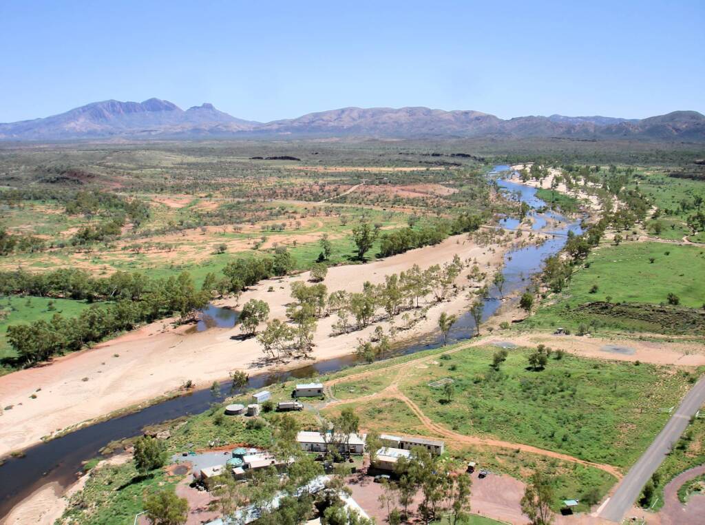
Following image is an aerial view over the Finke River, flowing over the Larapinta Drive down to Glen Helen Gorge. You can see the mountain range and Mount Sonder on the horizon. The tarred road on the bottom right is to Glen Helen Resort.

Larapinta Drive is part of the “Red Centre Way” tourism drive. Points of interest along the Larapinta Drive include:
- Alice Springs Desert Park
- John Flynn’s Grave Historical Reserve
- West MacDonnell Ranges
- Tjoritja West MacDonnell National Park
- Laura Creek
- Jay Creek
- Standley Chasm / Angkerle Atwatye
- Ellery Creek
- Hugh River
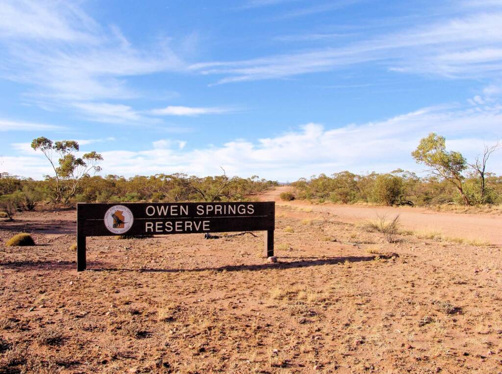
- Owen Springs Reserve
- Namatjira Drive
- Hermannsburg Historic Precinct
There is much to appreciate as you drive the length of Larapinta Drive, with distance ranges and amazing flora and fauna. During and after periods of rainfall, the landscape changes, providing another sensory layer to the amazing surrounds of Central Australia.

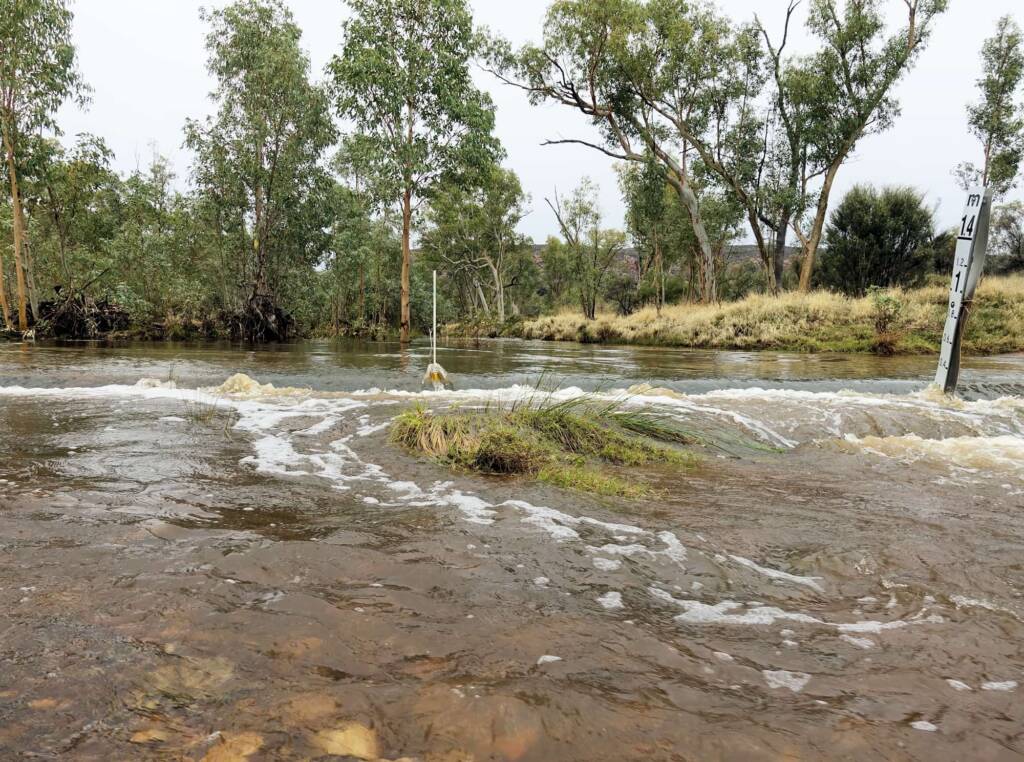
When there is significant rain in the region, former dry creeks and river beds will swell quickly with water, flowing rapidly down their course, often carrying debris from sand, rocks and trees and cutting off Larapinta Drive along various points. Drivers are warned to pay heed to flood warnings and not cross swollen creeks and rivers.

Locals love the rare sound of water, as creeks and rivers flow in Central Australia. Following is Ellery Creek, as it flows down from Ellery Creek Big Hole, crossing the road over Larapinta Drive and continuing on south.

Footnote & References
- Larapinta Drive, https://en.wikipedia.org/wiki/Larapinta_Drive (last visited Nov. 8, 2021)
- Map of Larapinta Drive, NT, Bonzle.com, http://www.bonzle.com/c/a?a=p&p=171569&cmd=sp
West MacDonnell RangesBirthday Waterhole Ellery Creek Big Hole Finke Two Mile Glen Helen Gorge Jay Creek John Flynn’s Grave Historical Reserve Laura Creek Larapinta Drive Mount Sonder / Rwetyepme Namatjira Drive The Neil Hargrave Lookout Ochre Pits Ormiston Gorge & Pound Point Howard Lookout Redbank Gorge Simpsons Gap
MacDonnell RangesEast MacDonnell Ranges West MacDonnell Ranges Tjoritja West MacDonnell National Park
