
West MacDonnell RangesBirthday Waterhole Ellery Creek Big Hole Finke Two Mile Glen Helen Gorge Jay Creek John Flynn’s Grave Historical Reserve Laura Creek Larapinta Drive Mount Sonder / Rwetyepme Namatjira Drive The Neil Hargrave Lookout Ochre Pits Ormiston Gorge & Pound Point Howard Lookout Redbank Gorge Simpsons Gap
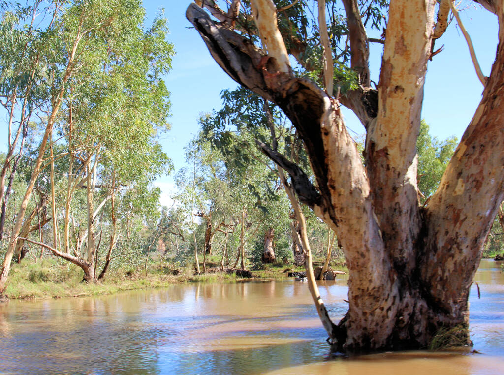
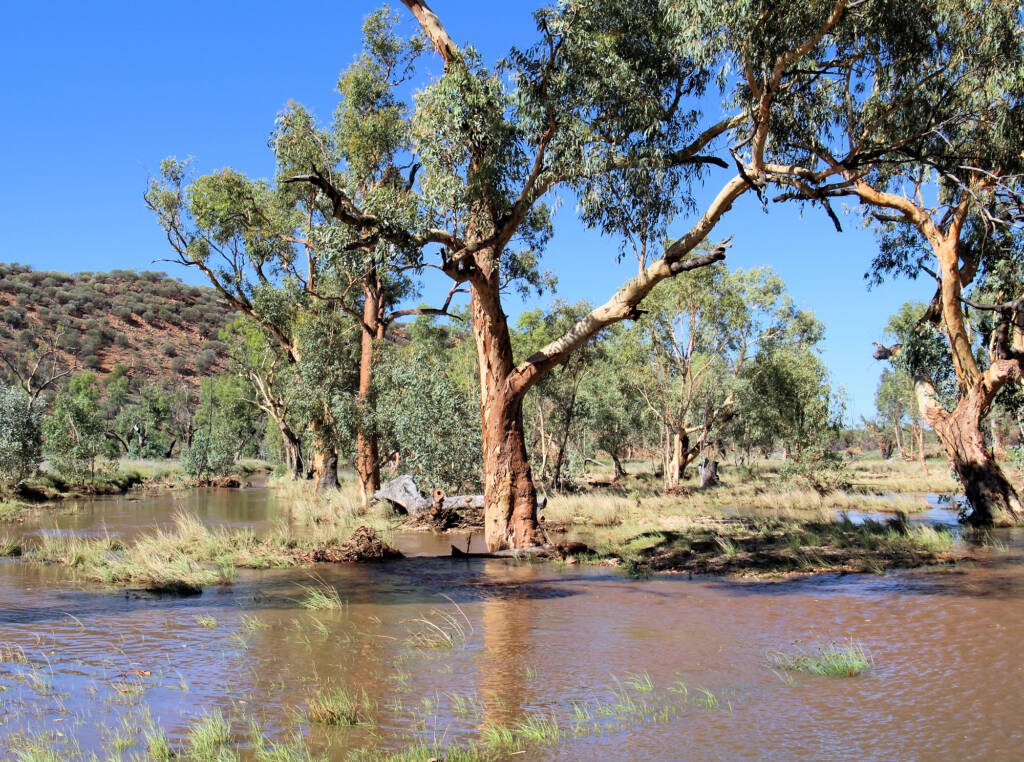
Laura Creek is another creek with a number of tributaries not far out from Alice Springs. Laura Creek and the its many tributaries that feed into it, cross over Larapinta Drive. It continues it runs through Fenn Gap, then east draining into Pine Valley, where the Joint Defence Facility Pine Gap (JDFPG) is located, and then into Roe Creek on the south side of Larapinta Drive.
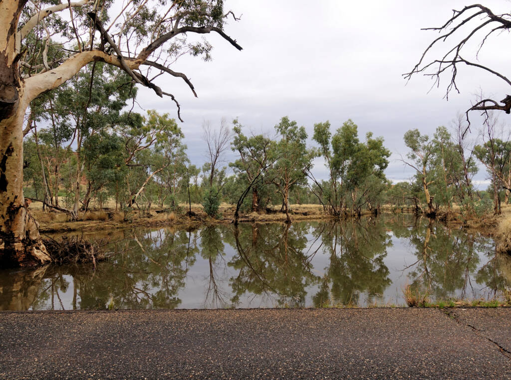
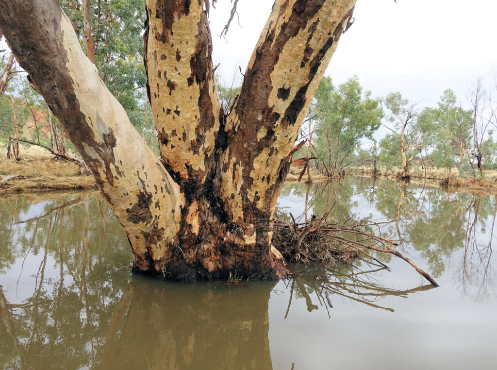
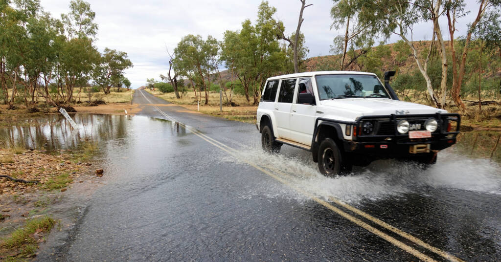
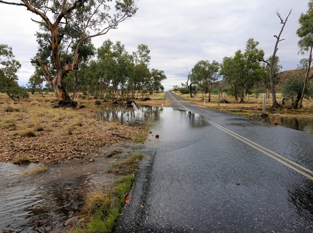
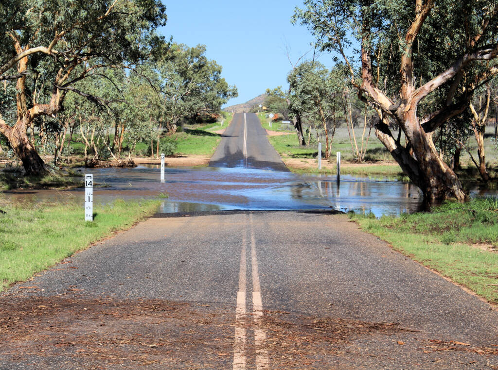
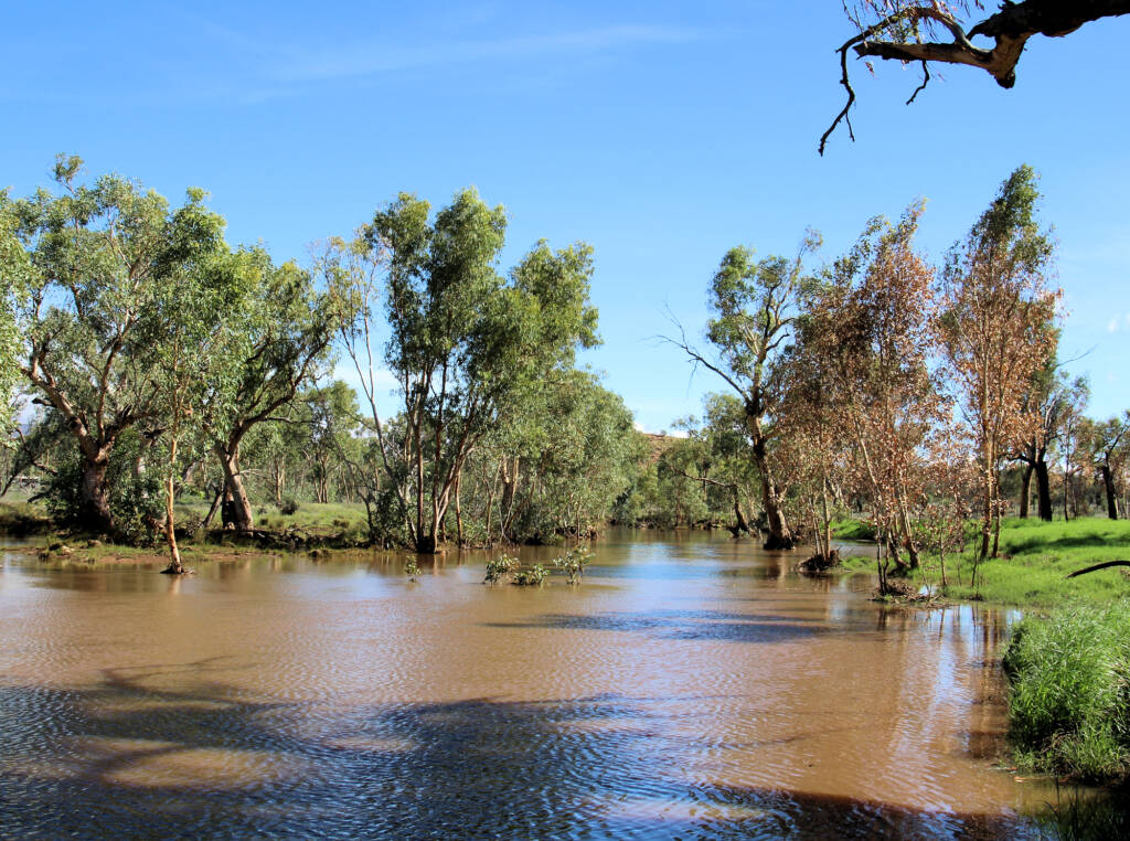
During times of good rainfall, water flow can be quite dramatic, flowing southward, and over roadways (sometimes cutting off access). In the following photo, you can see how high the creek rose from the leaves left behind when the water level fell.
Many thanks to Nick Tyllis and another member of Facebook Alice Springs Bulletin Board with help identifying Laura Creek. Thanks Nick for the following notes on how you deduce the name of the creek: “about 13 km west of the Bullen Road turnoff” and I looked at the 1:100,000 West MacDonnell National Park map 2 and the website nrmaps.nt.gov.au. To quote the full Grid Reference of what I was referring to: West MacDonnell National Park LP593705.
Footnote & References
- NR Maps, Natural Resource Maps, https://nrmaps.nt.gov.au/
- Map of Laura Creek, NT, Bonzle.com, http://www.bonzle.com/c/a?a=p&p=209840&cmd=sp
West MacDonnell RangesBirthday Waterhole Ellery Creek Big Hole Finke Two Mile Glen Helen Gorge Jay Creek John Flynn’s Grave Historical Reserve Laura Creek Larapinta Drive Mount Sonder / Rwetyepme Namatjira Drive The Neil Hargrave Lookout Ochre Pits Ormiston Gorge & Pound Point Howard Lookout Redbank Gorge Simpsons Gap
MacDonnell RangesEast MacDonnell Ranges West MacDonnell Ranges Tjoritja West MacDonnell National Park