Mount Kaputar National ParkEastern Grey and Pink Slugs Eckfords Elevated Walkway – Eckfords Lookout Walking Tracks
Located in northern New South Wales, 570 km northwest of Sydney and 52 km east of Narrabri, Mount Kaputar National Park comprises much of the Nandewar Range, and includes Ningadhun, Yulludunida Cliffs, Yulludunida Crater, Kaputar Plateau, Sawn Rocks, Waa Gorge, Mt Lindesay, Mt Dowe and much more.
Mt Kaputar is a place of contrasts with the high peaks subject to sub-zero temperatures, frost and snow in winter and patches of rainforest flourishing in the lower areas. There is a mix of fig trees, lilly pillies and tangled rainforest vines, alongside snow gums, snow grass and alpine daisies.
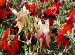
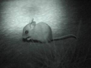
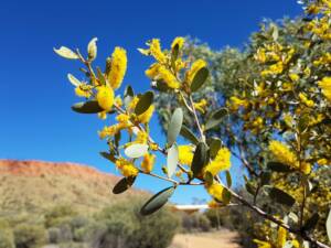
Perched on the edge of the Western Plains and surrounded by farm land, Mt Kaputar is an island sanctuary for a wide range of plants and animals. In recognition of this natural environment, the vast majority of this Park (80%) has been declared Wilderness Area.
There are many walks and trails, plus areas for picnickers and campers, including cabins that can be booked through the National Parks & Wildlife Service.
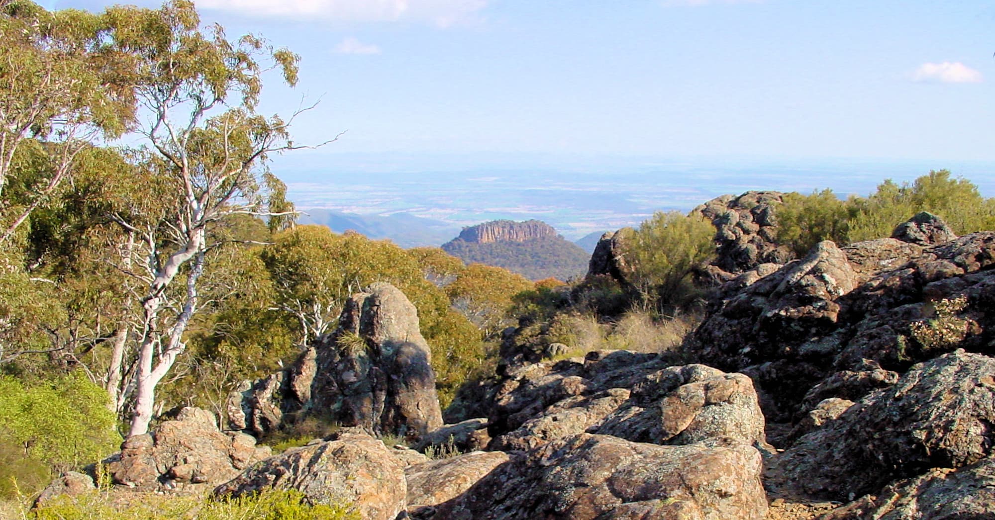
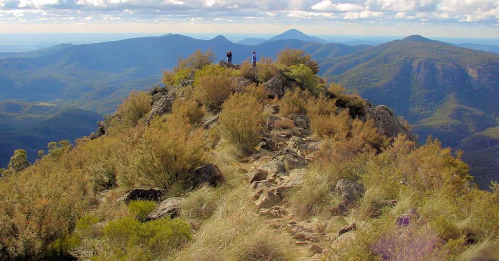
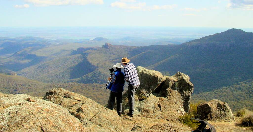
The Governor (Corrunbral Borawah) is an easy 2 km walk, that takes you to the top of a spectacular remnant of a lava flow, with breath-taking views in all direction.
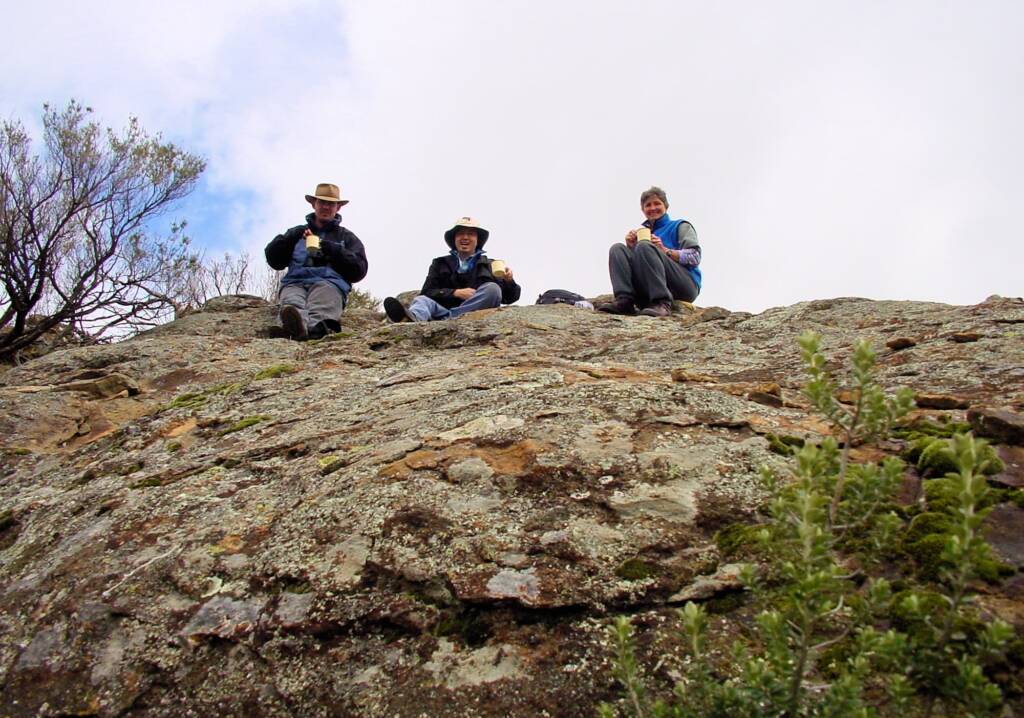
The following photo is of the open herbfield at Eckfords Lookout. It acts as a soak for the water running off the southern face of Mount Dowe, and saturating the thin soil.

Aboriginal History
Mount Kaputar National Park is the traditional Country of the Kamilaroi Aboriginal people. The Nandewar Range was once occupied by the Aboriginal people of the Kamilaroi nation. Today, little is known of the indigenous cultural significance of the mountain range and what importance it played in their lives. Some 25 sites have been recorded in the park, that include campsites, artefact scatters, marked trees, axe grinding grooves and some rock carvings.
European History
During the first half of the 1800s, the Nandewar Range featured prominently in a number of journals of exploration, although the range did remain inaccessible and unsettled for much of the nineteenth century, being mainly a boundary for pastoral runs.
Settlement intensified in the 1860s, but the rugged landscape of the range deterred settlers from taking up land beyond the foothills. The 1900s saw cattle herds grazing the mountains and grazing leases existed over parts of the ranges until the 1950s.
There are twenty-four historic places, known to be in Mount Kaputar National Park. Of special interest are the remnants of early pastoral use such as Scutt’s Hut, the “Chinese” Fence, the Foggy Dell Woolshed and various wooden stock troughs.
Although Oxley and Mitchell named some of the peaks in the park, they did not actually visit them. The mountains also provided refuge for bushrangers.
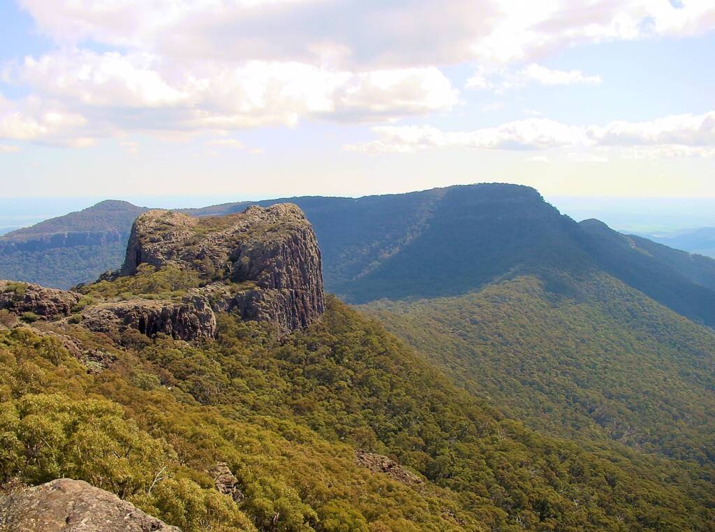
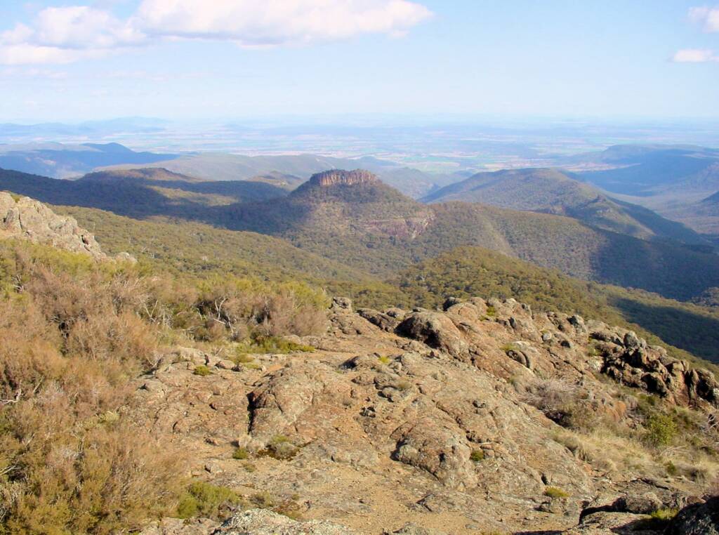
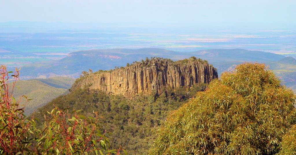
Mount Kaputar National Park encompasses the Nandewar Ranges, once a complex elongated shield volcano, now a rugged mountainous region that are the remnant from a series of volcanic eruptions that moved through the area between 17 and 21 million years ago. Over millions of years, erosion carved the landscape that we known as the Nandewar Range, a dramatic escarpment of lava terraces, volcanic plugs and ring dykes.
At 1,510 metres above sea level Mount Kaputar forms the highest point, whilst the national park itself demonstrates many outstanding examples of landforms associated with volcanism. These include the remains of numerous tiered lava terraces such as Lindsay Rock Tops and those south of Bundabulla and Eckford’s Lookouts. These show phases of volcanic activity, while the Governor, Ningadhun, Euglah Rock and Camels Hump demonstrate the processes of erosion whereby individual features of volcanism have been isolated. One of the most spectacular of these is Mount Yulludunida, a circular set of dykes.
One of the significant geomorphological site in the national park is Sawn Rocks. This name is given to one of the best examples of columnar jointing in Australia. The site is located in the northern part of national park and is geologically significant for its well-preserved pentagonal columns of trachyte. Sawn Rocks demonstrates the formation of parallel, prismatic columns that are formed as a result of uniform contraction during the slow and even cooling of a trachyte flow.
Photos © Ausemade PL
Footnote & References
Mount Kaputar National ParkEastern Grey and Pink Slugs Eckfords Elevated Walkway – Eckfords Lookout Walking Tracks
New South WalesNew South Wales Fauna New South Wales Flora Barunguba Montague Island Blue Mountains Bourke Bundeena Central Coast Kosciuszko National Park Lower North Shore Lightning Ridge Mount Kaputar National Park Northern Beaches Sapphire Coast Snowy Mountains Region South Coast Stony Range Regional Botanic Garden Sydney