A Rare Occurrence – 2007
Water in Central Australia | Todd River | 2007 | 2010 | 2021 | 2022 ◦
Following images of water flowing along the Todd River – 8 January, 2007
A lot of locals enjoyed the spectacle of the Todd River flowing, with many youngsters getting into the river to enjoy the occasion. Peaking at 2 m at 4 am on Sunday morning, water was flowing across the Undoolya Road causeway and Tuncks Road, further down stream. Water was still seen flowing on Monday morning.
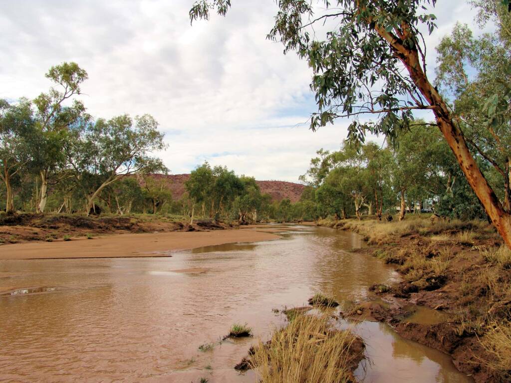
Todd River looking towards the MacDonnell Ranges, south of Tuncks Road. 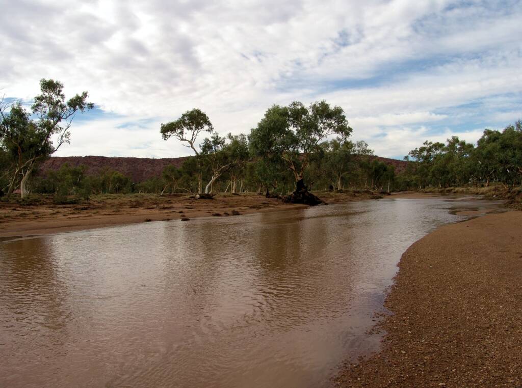
Todd River looking towards the MacDonnell Ranges, south of Tuncks Road. 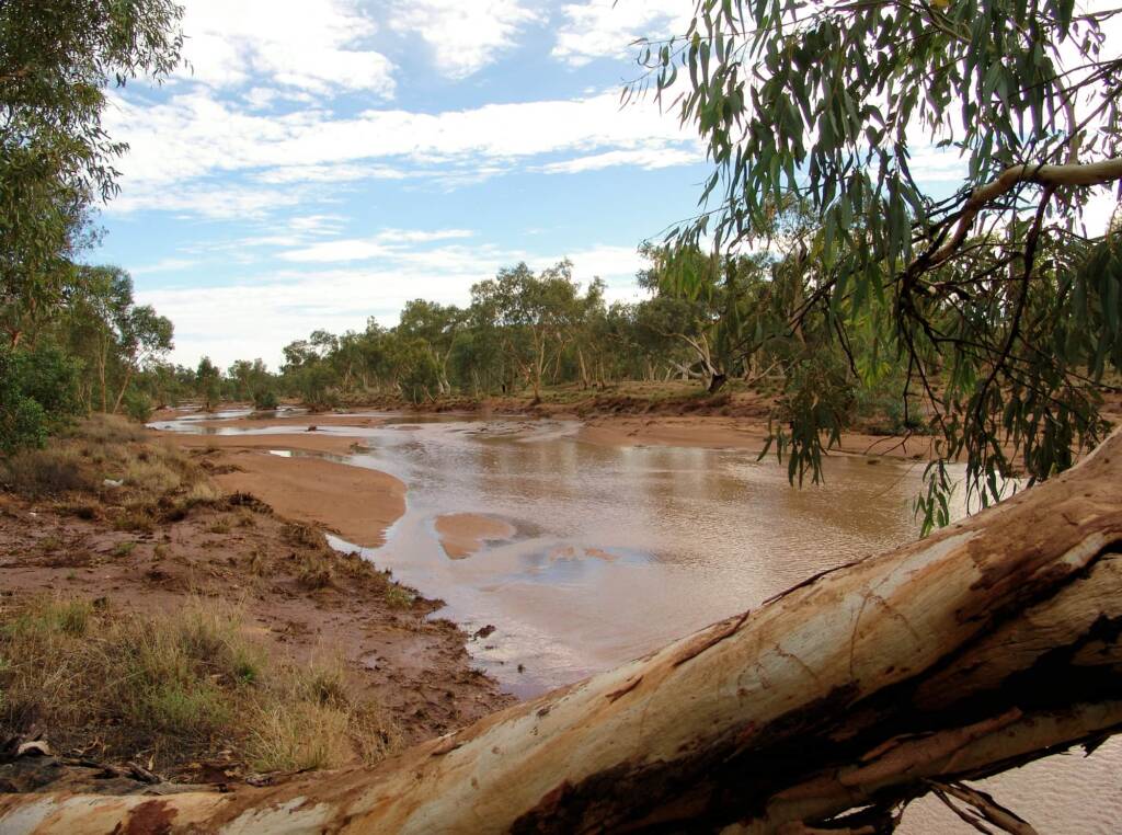
Todd River looking north, south of Tuncks Road. 
Todd River looking north, south of Tuncks Road.
Following images of water flowing in the Todd River – 8 January, 2007
The Todd River begin in the MacDonnell Ranges, flowing past the Telegraph Station, almost through the centre of Alice Springs, through Heavitree Gap and continuing on for some distance before it becomes a tributary of the Hale River, that eventually flows into Lake Eyre in South Australia.
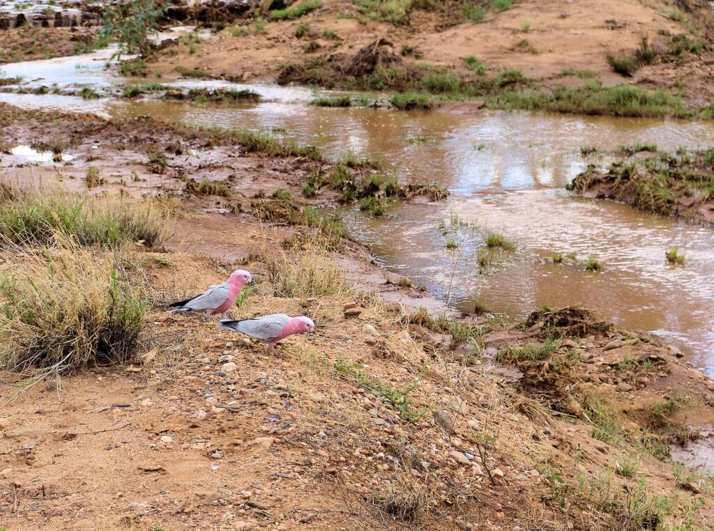
Pair of galahs along the Todd River 2007, Alice Springs, NT 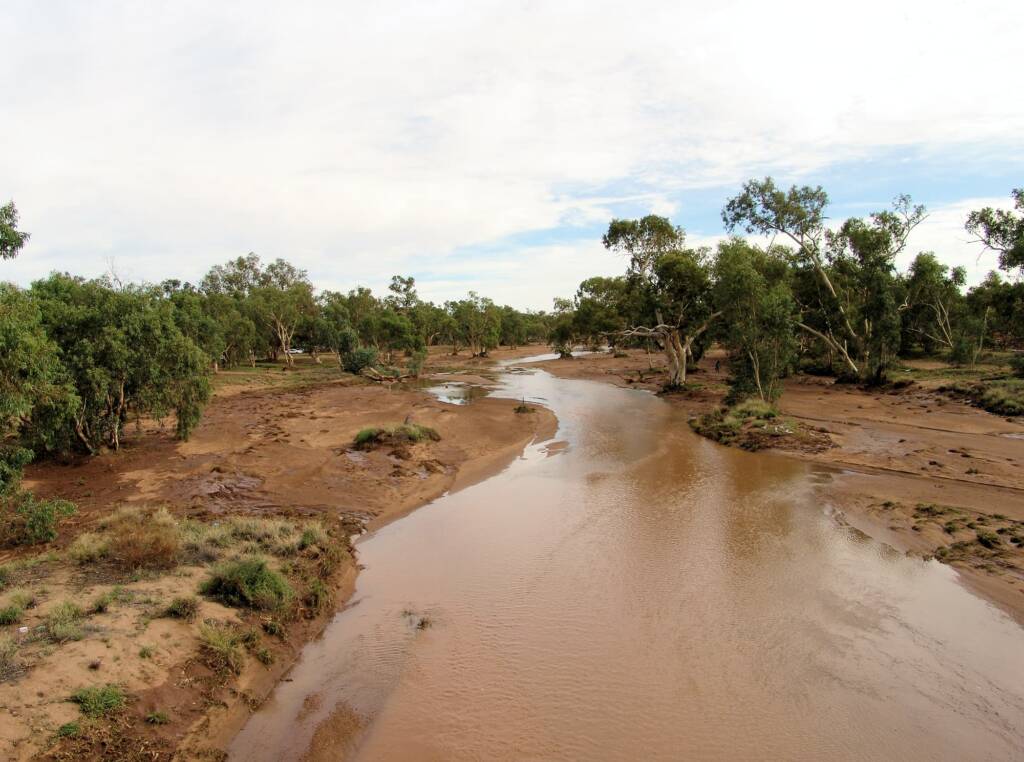
The north view looking down on the Todd River from Stott Terrace Bridge. 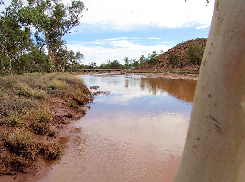
Stott Terrace Bridge and roadway across the Todd River, Meyer’s Hill on the right. 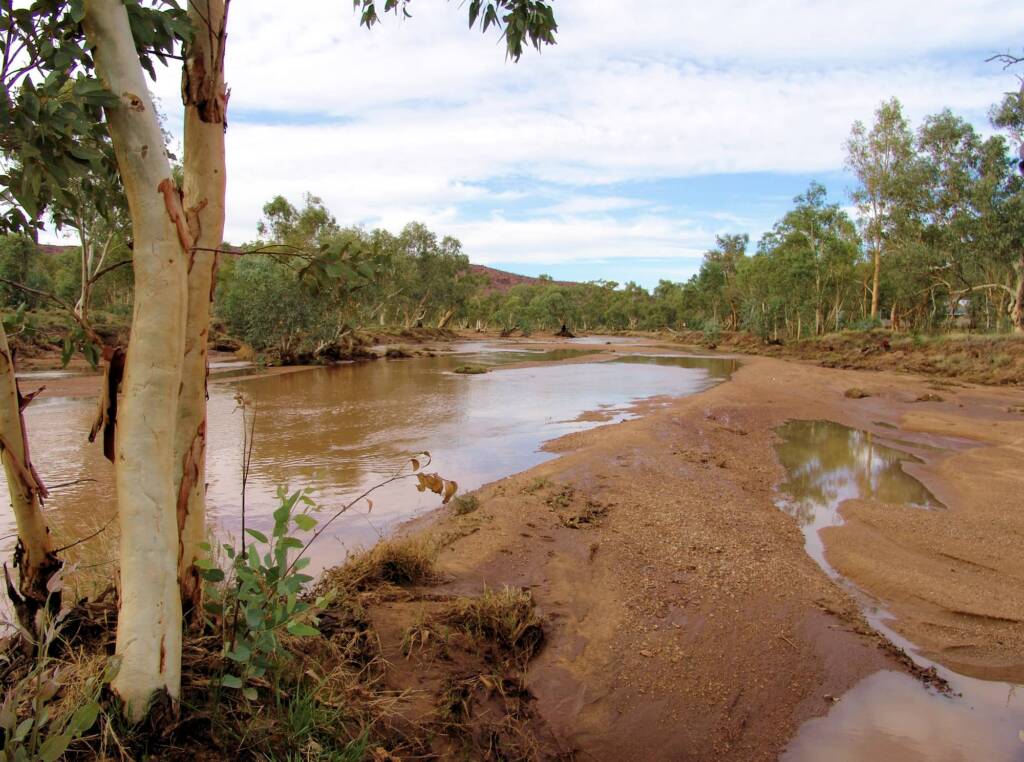
Todd River looking south.
Following images of water flowing in the Todd River – 8 January, 2007
Most of the time the river appears dry, except for the occasional water hole along it’s length. It is the iconic River Red Gum seen growing along the river course, that indicate there is water below the river bed surface.
On the occasion when there is significant rainfall along the Todd catchment region, locals and visitors are treated to the rare event of the Todd River in flow…
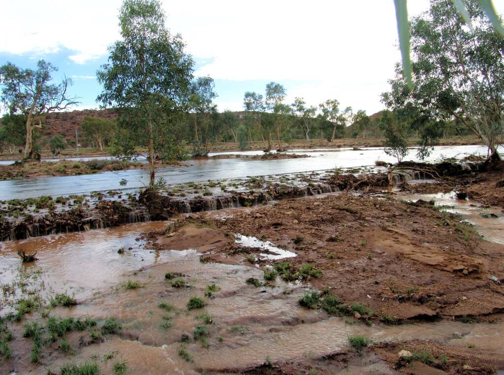
Todd River spilling across Tuncks Road, causing it’s temporary closure. 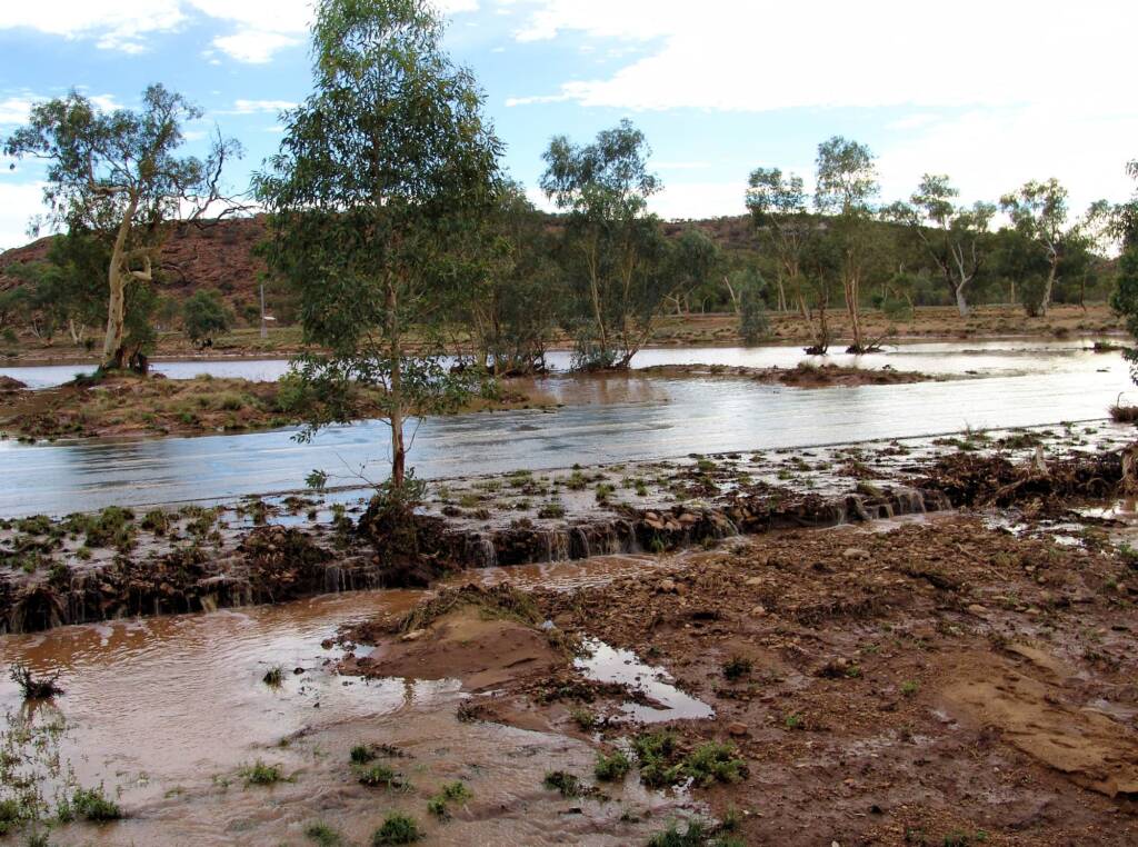
Todd River spilling across Tuncks Road, causing it’s temporary closure. 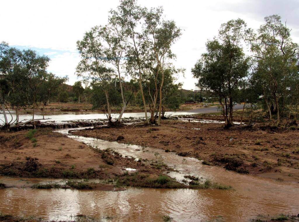
Todd River spilling across Tuncks Road, causing it’s temporary closure. 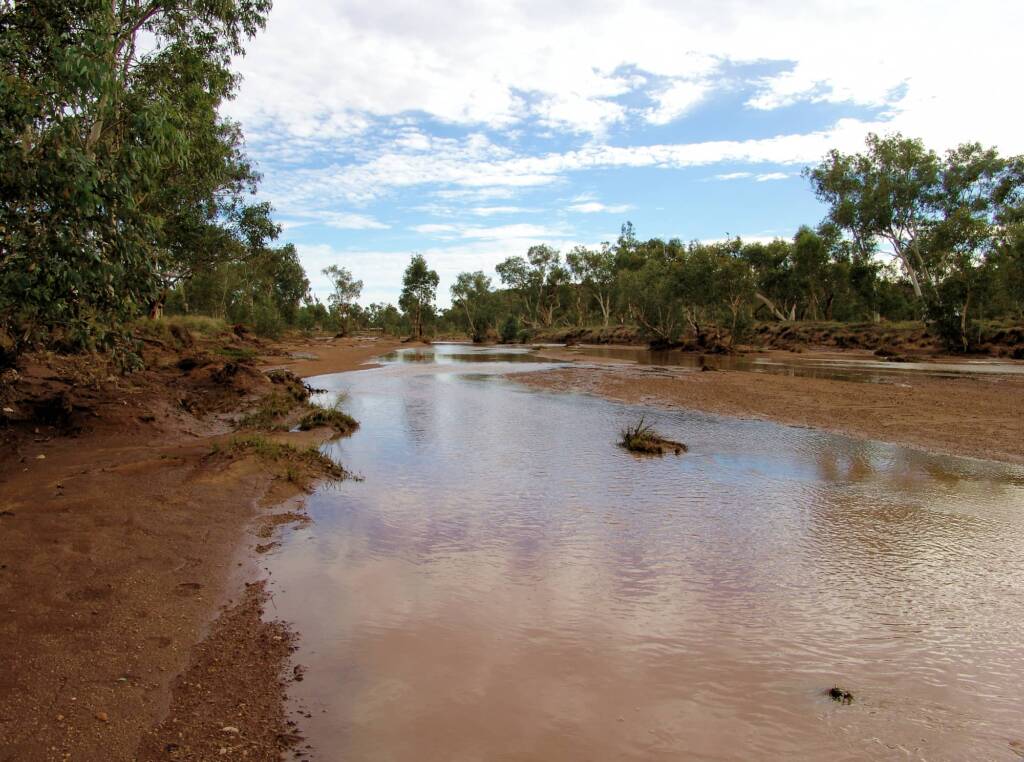
Todd River looking north, south of Tuncks Road. 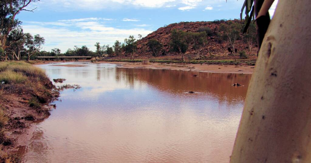
Stott Terrace Bridge and roadway across the Todd River, Meyer’s Hill on the right, 2007 
Todd River looking towards the MacDonnell Ranges, south of Tuncks Road.
Following images of water flowing in the Todd River – 19 January, 2007
The Todd River saw more rain as floodwaters hit Alice Springs on Thursday. Two children playing on the Palm Circuit causeway were rescued by police after being swept away in the floodwaters.
All causeways in the town were closed except for the Taffy Pick Crossing at Stephens Road. In fact there were many roads in Central Australia closed or had water over them, after the Wednesday night deluge. By late morning the flow at the northern end of town had peaked at about 1.5 metre deep, reaching from bank to bank, and which was the highest since January 2001, when it reached 1.7 metre with the river breaking its banks.
The following images were taken Friday morning, with water easing, but still showing a constant flow out through Heavitree Gap.
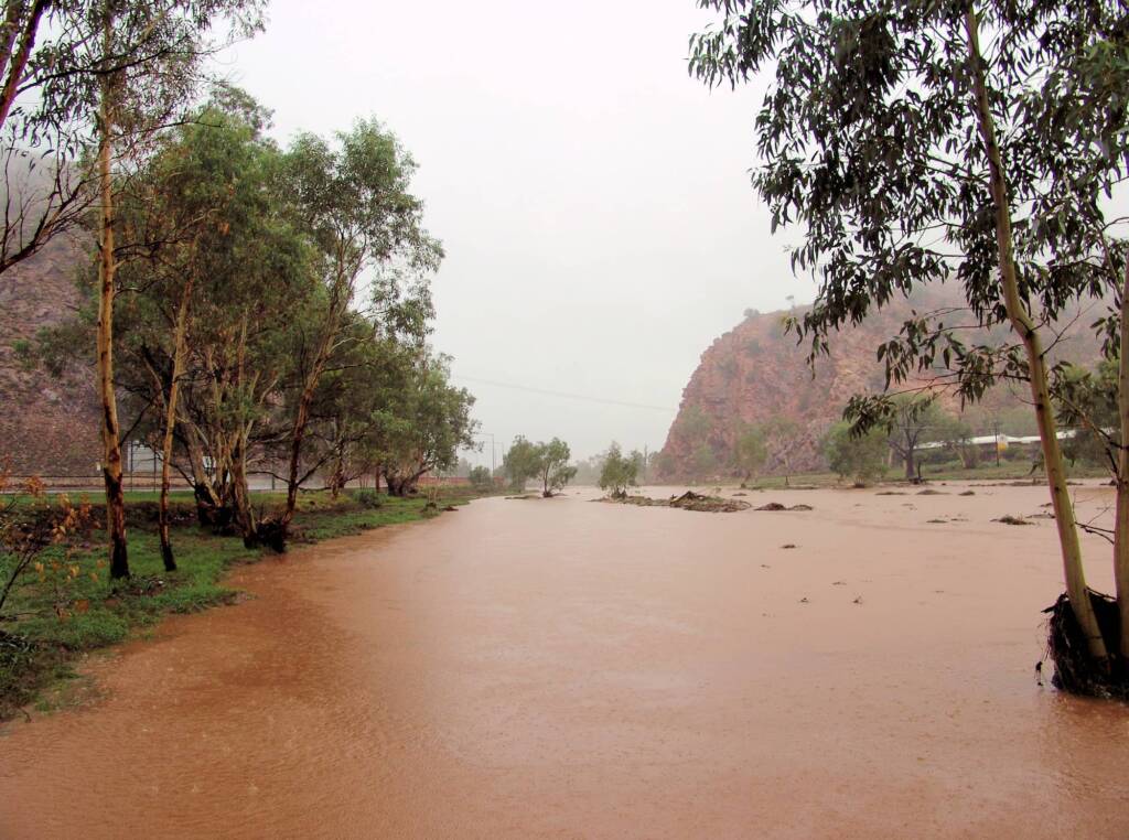
Looking up the Todd River as if flows from Alice Springs, through Heavitree Gap. 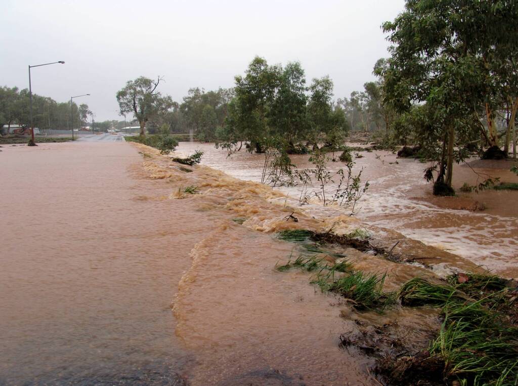
Todd River as it cascade off Palm Circuit. 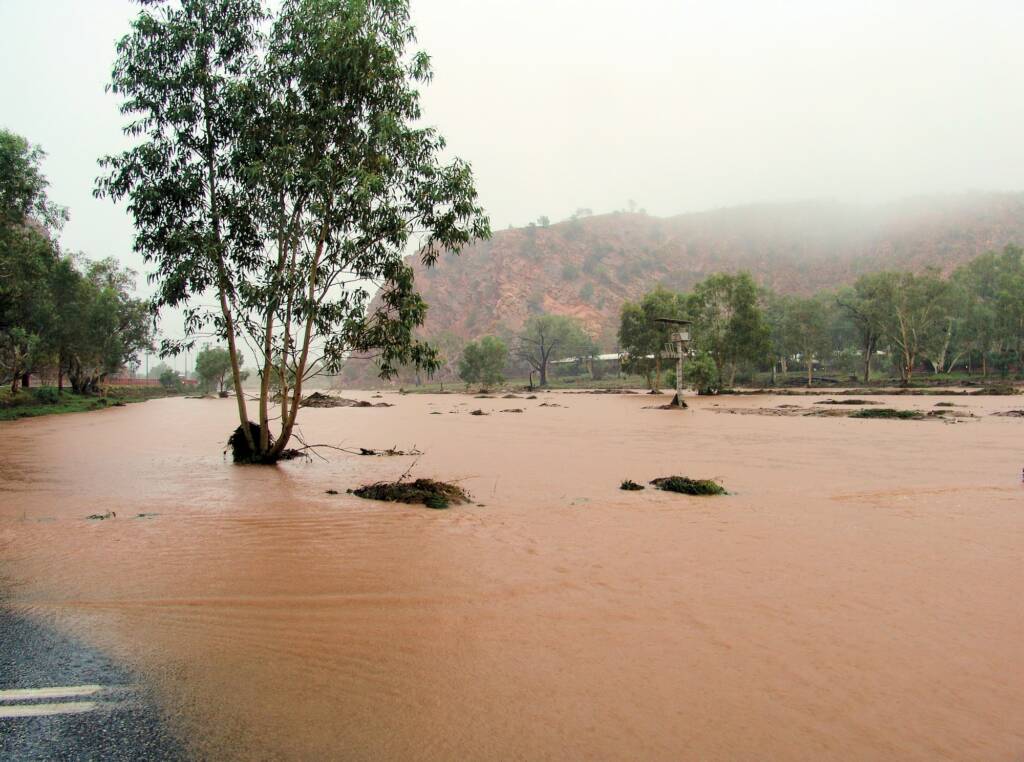
South of Heavitree Gap, looking north up the Todd River as it flows across Palm Circuit. 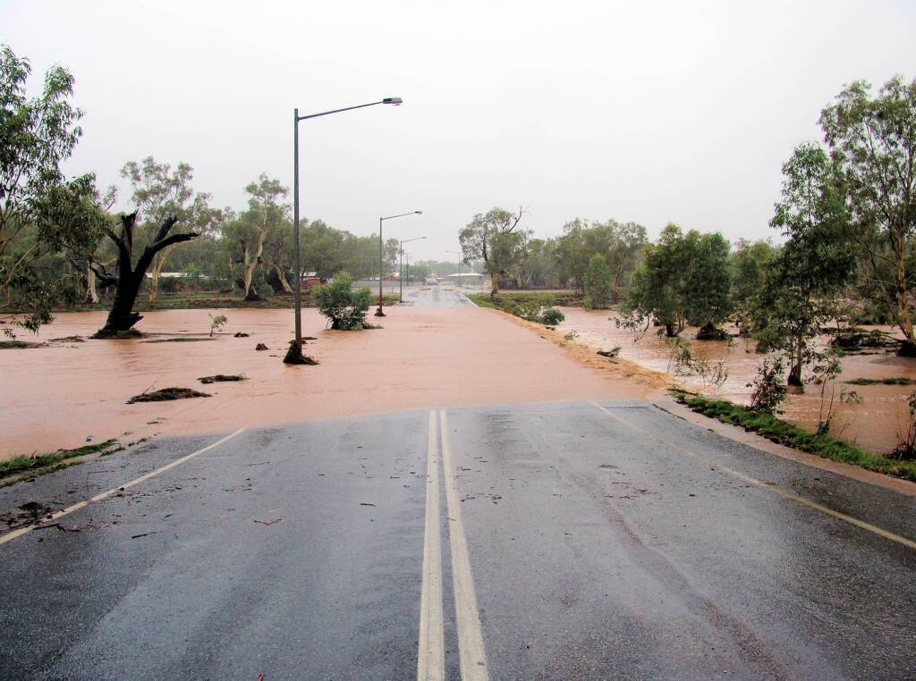
Todd River spilling across Palm Circuit, causing it’s temporary closure again.
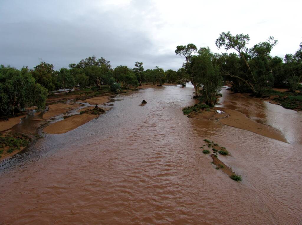
Looking up Todd River (north) on Stott Terrace Bridge, 2007 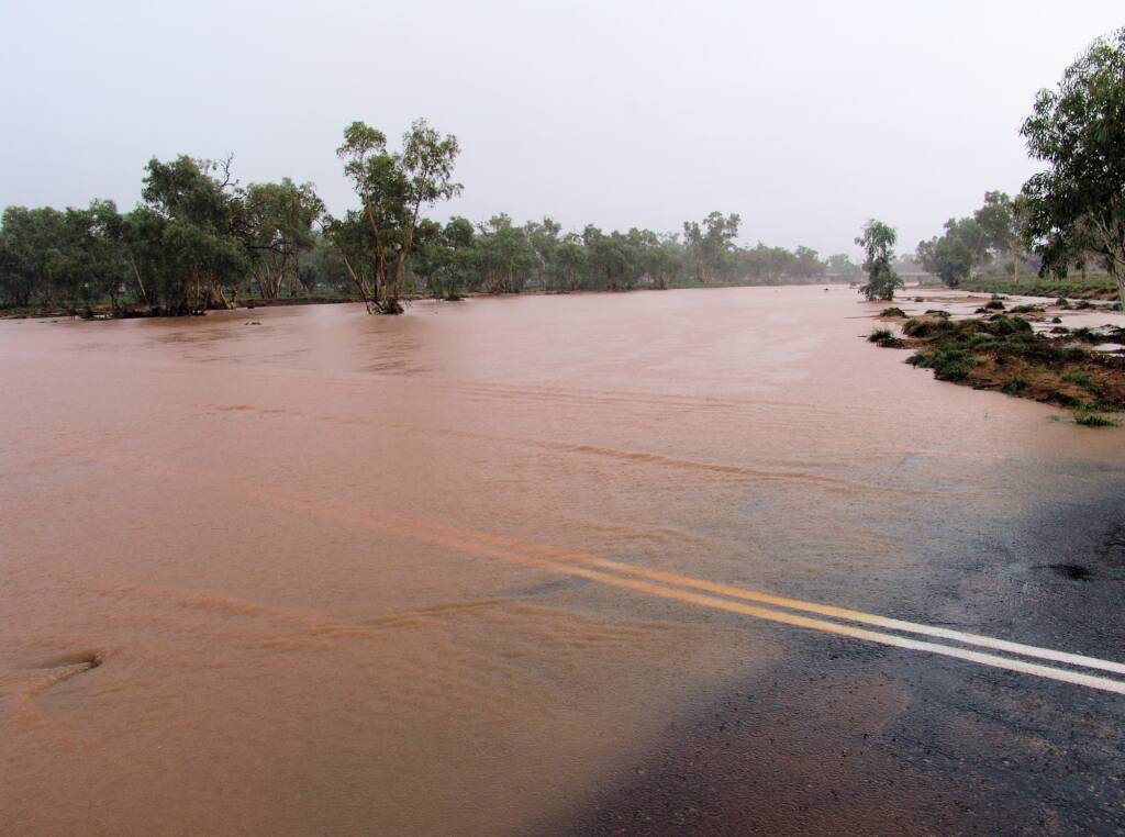
Tuncks Road (looking north up Todd River to Stott Terrace Bridge in the distance), 2007 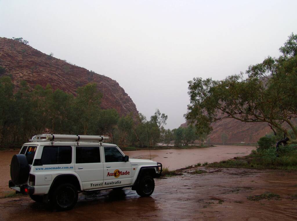
Todd River north of Heavitree Gap, 2007 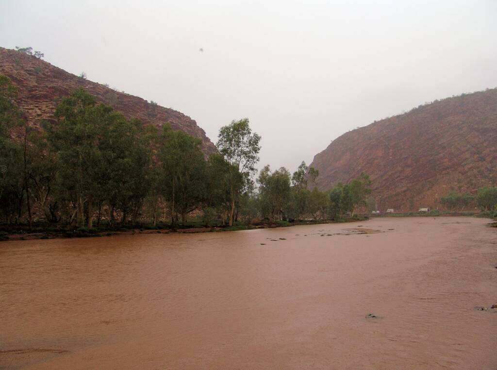
Todd River north of Heavitree Gap, 2007

Looking up Todd River (north) on Stott Terrace Bridge, 2007 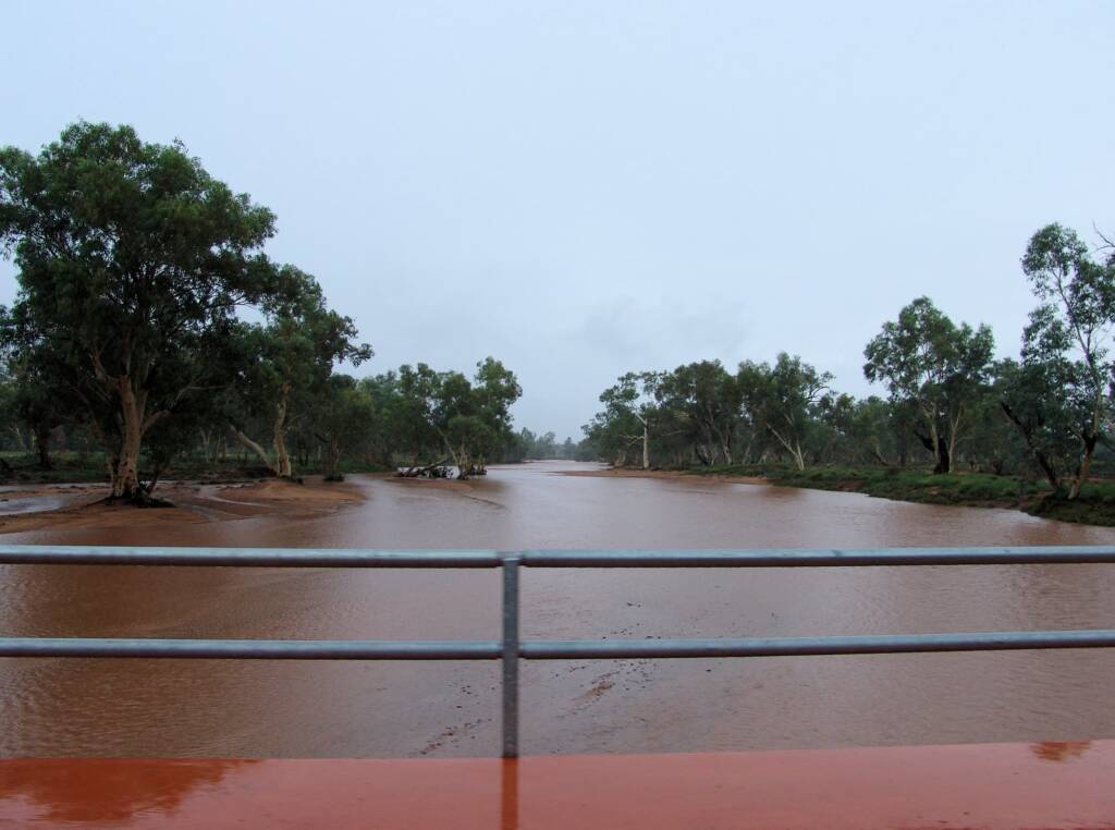
View up Todd River from Stephens Road, Alice Springs, 2007 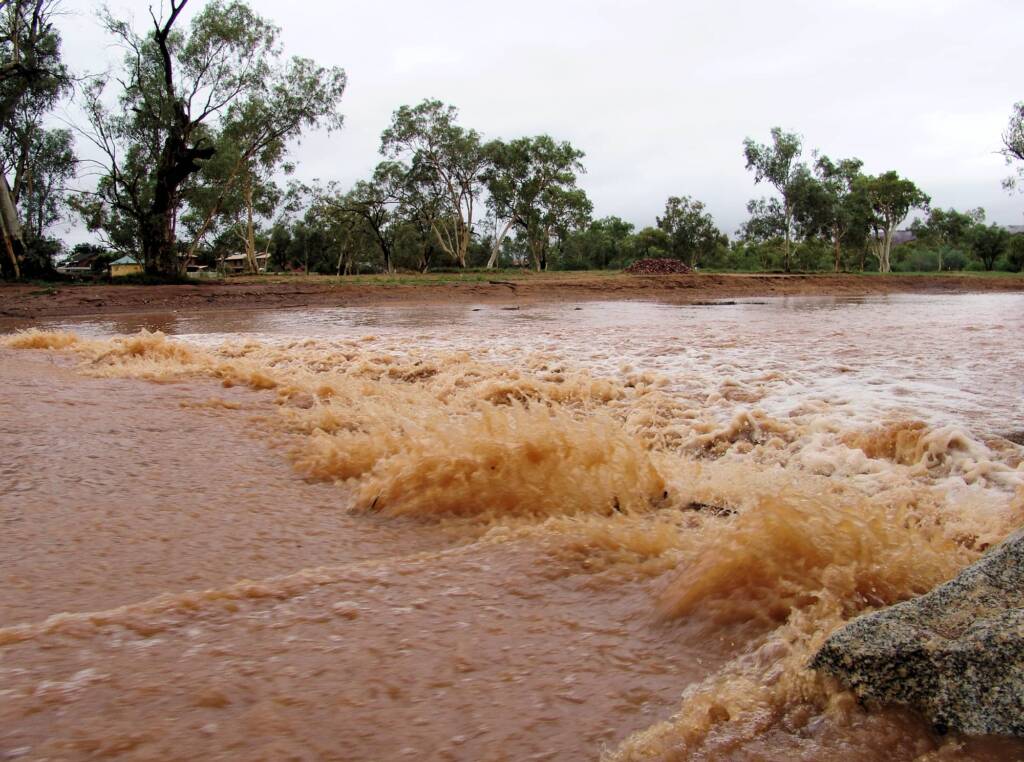
Todd River at Schwarz Cres Alice Springs, 2007 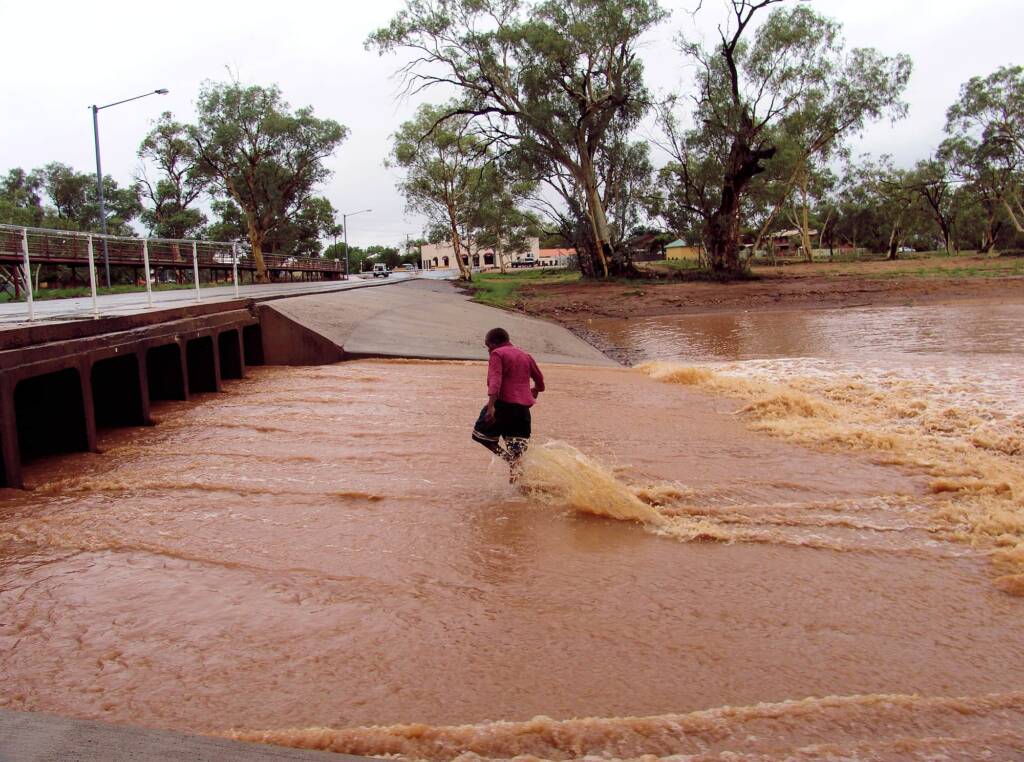
Todd River flowing under Undoolya Road, Alice Springs, 2007
Footnote & References
- Australian Bureau of Meterology – Todd River
- Northern Territory News – Swept away in the Todd (Kasey Brunt)
- Centralian Advocate (NT News) – Police rescue sparks warning (Aurora Daniels)
