
West MacDonnell RangesBirthday Waterhole Ellery Creek Big Hole Finke Two Mile Glen Helen Gorge Jay Creek John Flynn’s Grave Historical Reserve Laura Creek Larapinta Drive Mount Sonder / Rwetyepme Namatjira Drive The Neil Hargrave Lookout Ochre Pits Ormiston Gorge & Pound Point Howard Lookout Redbank Gorge Simpsons Gap
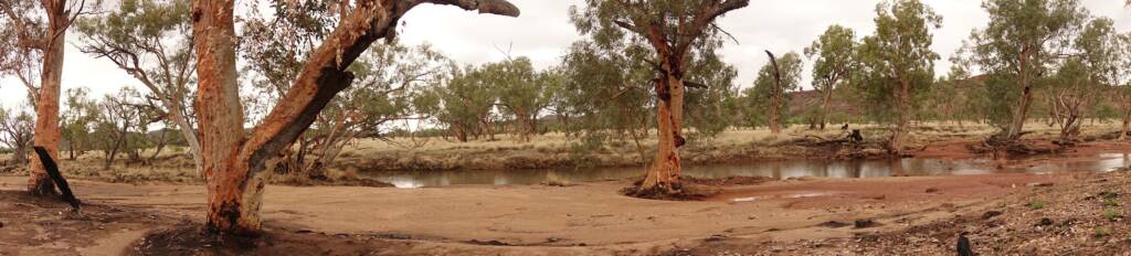
Jay Creek is a locality located on the western side of the MacDonnell Ranges, approximately 45 km west of Alice Springs. It is also the name of the waterway that flow through a rugged gorge at the southern end of the range and into a permanent waterhole known as Fish Hole.
Jay Creek is also at the Trailhead for Sections 2 and 3 of the Larapinta Trail, a renowned international 231 kilometre trek through the West MacDonnell Ranges.
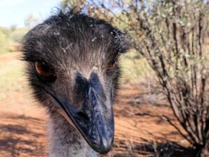
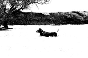
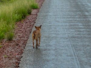
The walk to Jay Creek (Section 2 of the Larapinta Trek) starts at Simpsons Gap and takes you along a high ridgeline with wonderful views of the surrounding ranges. As well as the wildlife (including reptiles, birds, black-footed rock-wallabies and euros (also known as wallaroos), you pass through an area of mulga woodland before arriving at Jay Creek.
Jay Creek is in the MacDonnell Ranges 45 kilometres (28 mi) west of Alice Springs in the Northern Territory in Australia. It was a government reserve for Aboriginal Australians which for a time in the late 1920s and early 1930s included 45 children from a home named “The Bungalow” (37 of whom were under the age of 12) temporarily housed in a corrugated iron shed with a superintendent and matron housed separately in two tents.
Source: Jay Creek, Northern Territory, https://en.wikipedia.org/wiki/Jay_Creek,_Northern_Territory
Jay Creek was home to the Western Arrernte people. In 1937 Jay Creek was declared as one of three permanent camps or reserves for the Alice Springs Aboriginal population. It was intended a buffer between the semi-nomadic people living in far western regions and the more sophisticated inhabitants of Alice Springs and environs, in particular for the non-working, aged and infirm around Alice.
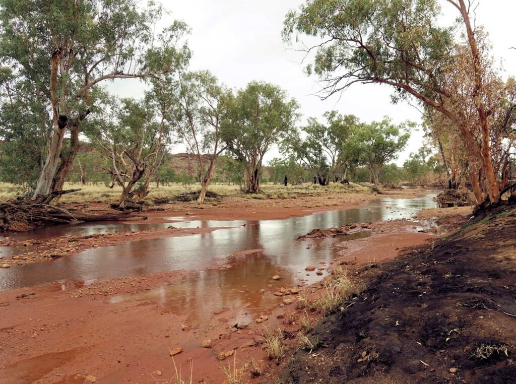
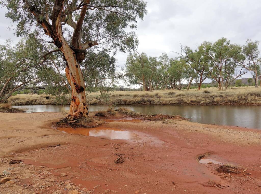
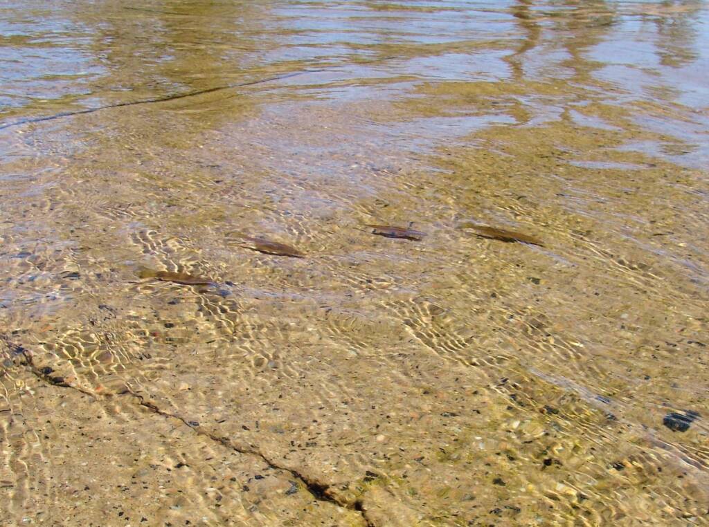
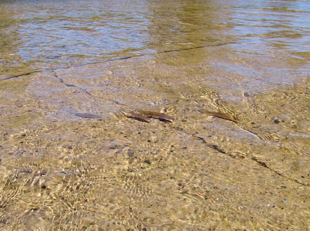
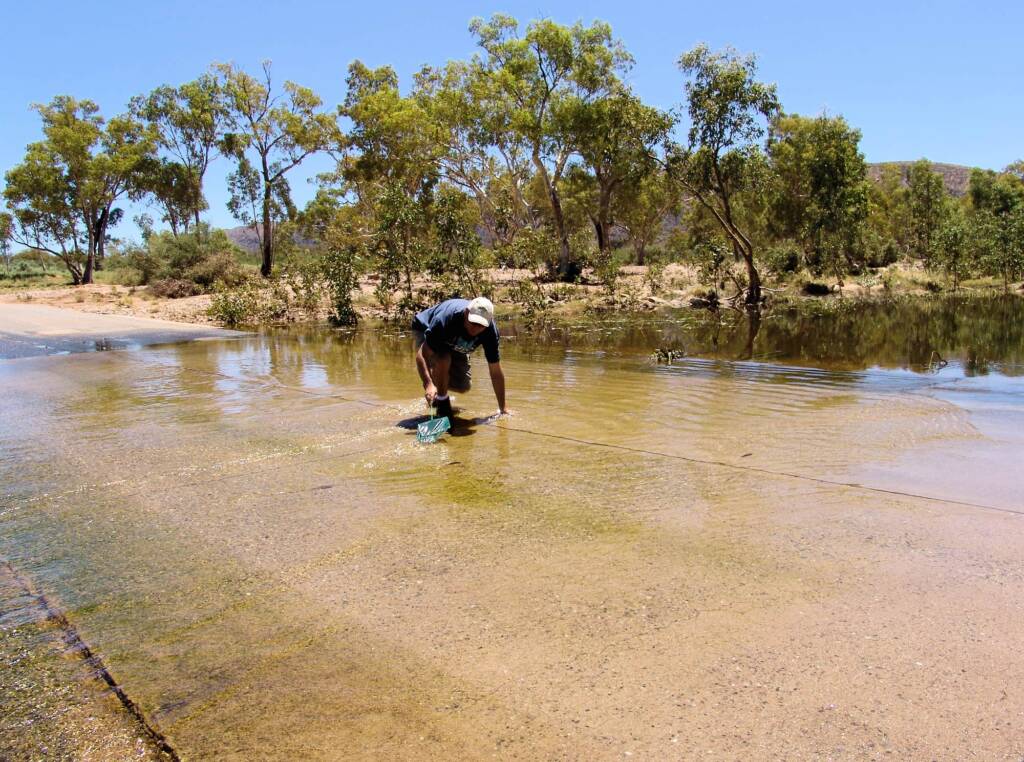
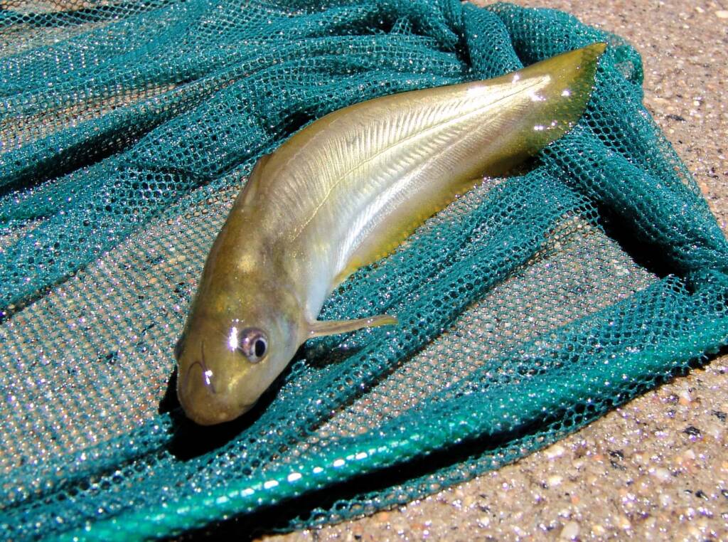
During times of good rainfall, water flow can be quite dramatic, flowing southward, and over roadways (sometimes cutting off access).
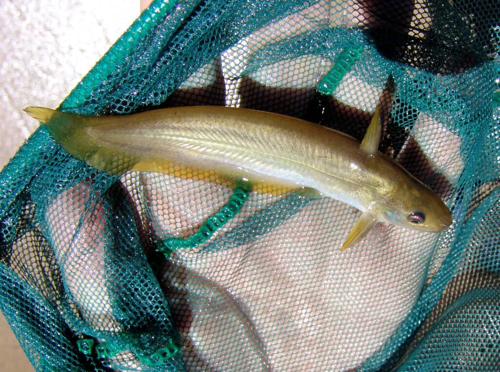
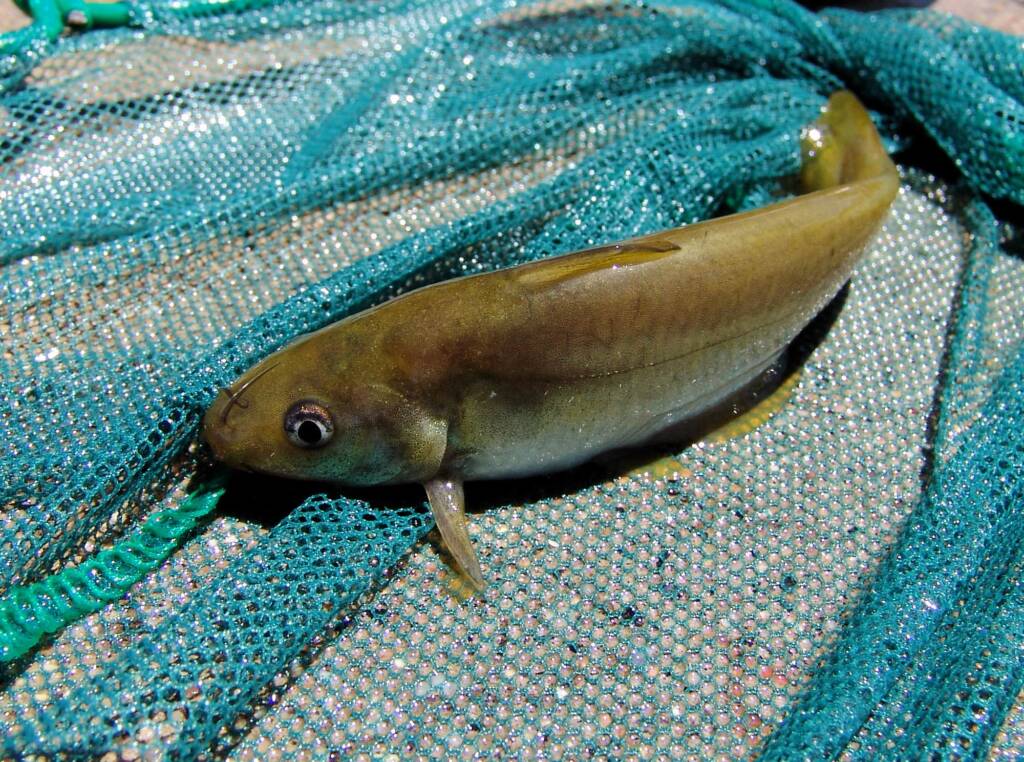
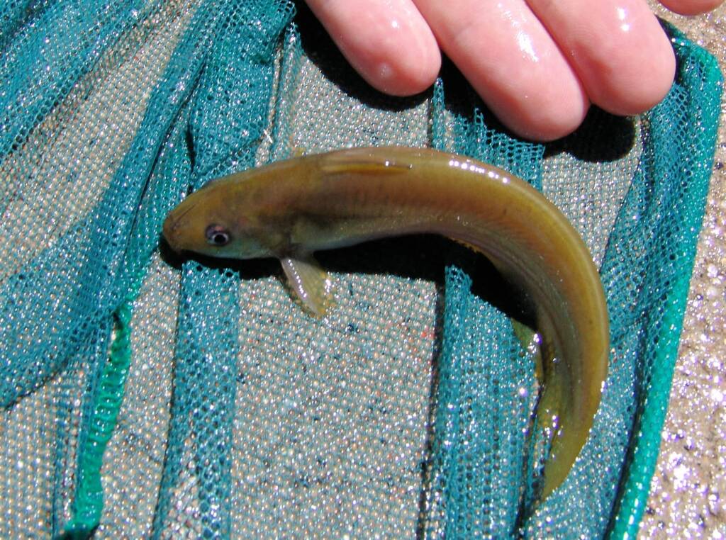
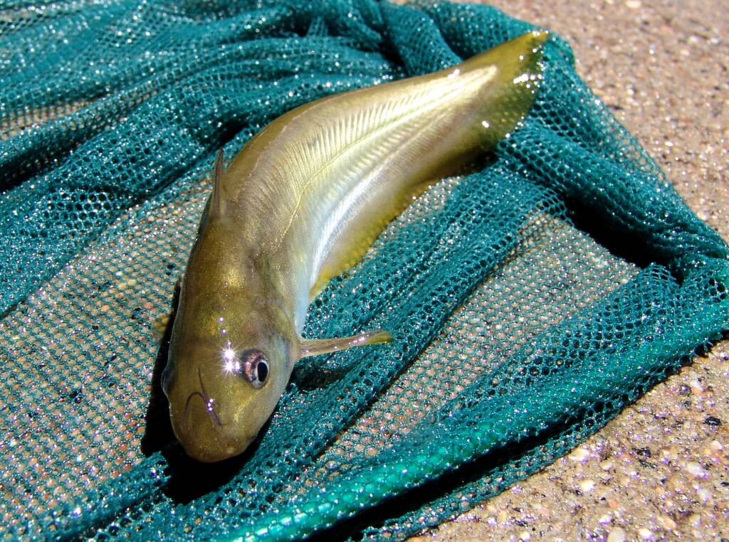
As with many areas of the arid inland region, after decent rainfall, former dry rivers begin to flow, often resulting in desert fish appearing, as if from nowhere. The following images show fishes crossing Namatjira Drive, swimming upstream against the flow of the river. They were caught by net for a quick photo, then released back into the water.
Footnote & References
- Jay Creek, Northern Territory, https://en.wikipedia.org/wiki/Jay_Creek,_Northern_Territory (last visited Oct. 25, 2021)
- Iwupataka, 16 August 2017, Northern Territory Land Information System (NTLIS), http://www.ntlis.nt.gov.au/hpa-services/slapmaps?community_id=65
West MacDonnell RangesBirthday Waterhole Ellery Creek Big Hole Finke Two Mile Glen Helen Gorge Jay Creek John Flynn’s Grave Historical Reserve Laura Creek Larapinta Drive Mount Sonder / Rwetyepme Namatjira Drive The Neil Hargrave Lookout Ochre Pits Ormiston Gorge & Pound Point Howard Lookout Redbank Gorge Simpsons Gap
MacDonnell RangesEast MacDonnell Ranges West MacDonnell Ranges Tjoritja West MacDonnell National Park