

Water in Central Australia | Waterways in Alice
Starting in the south of the Northern Territory, the Hugh River begins at an elevation of approximately 637 metres and ends at an elevation of 316 metres, merging with the Finke River. Approximately 397 km in length, the Hugh River, along with Ellery Creek and the Palmer River are some of the major tributaries that flow into the Finke River System.
The Finke River and Finke River System is one of the largest river systems in Central Australia.
There are 9 creeks and rivers that flow into the Hugh River. The five longest tributaries are the Alice Creek, Tidenvale Creek, Mueller Creek, Jay Creek and Log Hole Creek. The others include Gum Tree Creek, Oliffe Creek, Nine Mile Creek and Cox Creek.
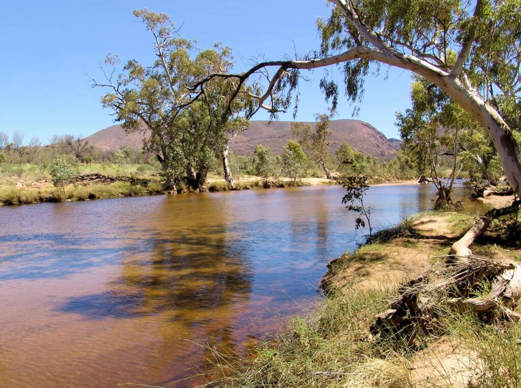
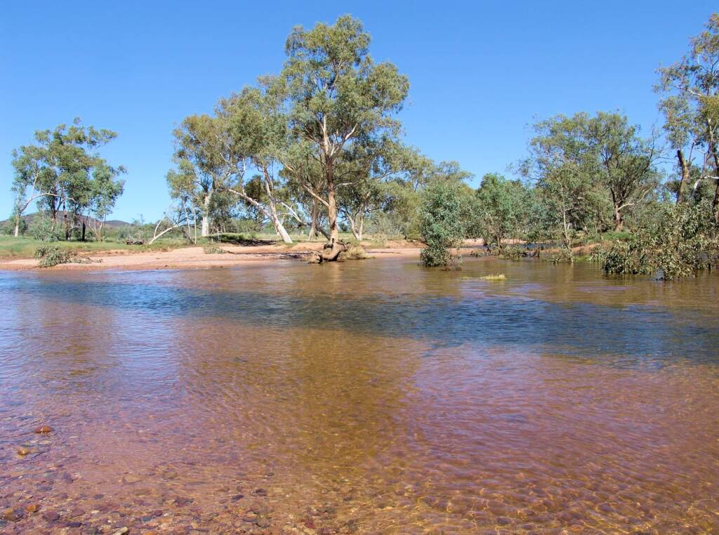
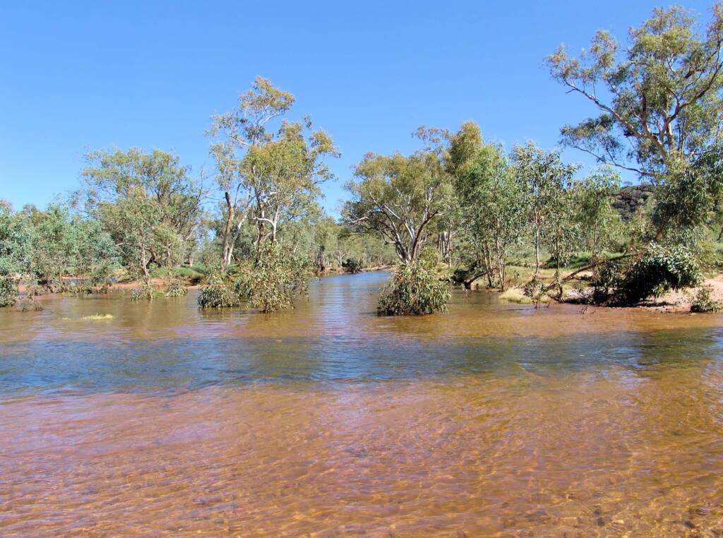
Whilst in many places along the length of the Hugh River, the river is dry, there are some places that retain water, such as the Birthday Waterhole (located in the West MacDonnell Ranges).
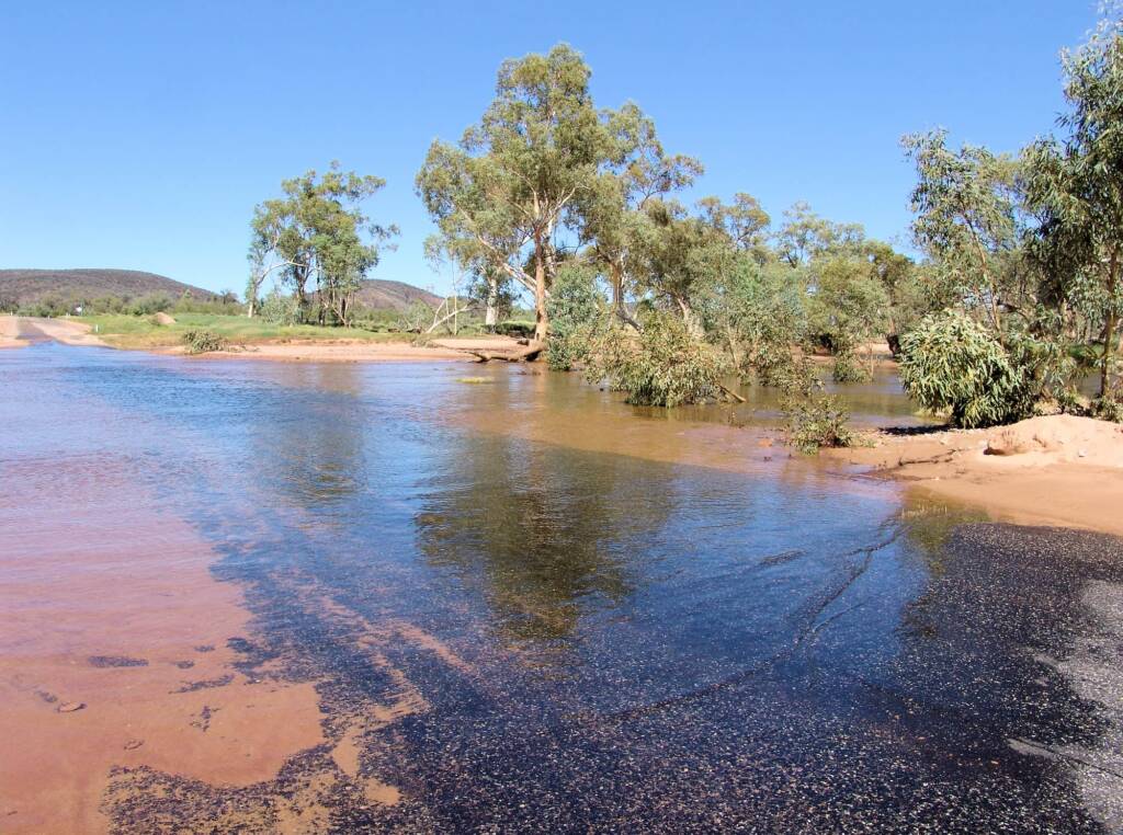
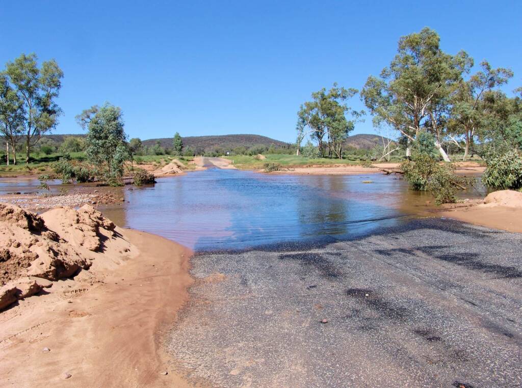
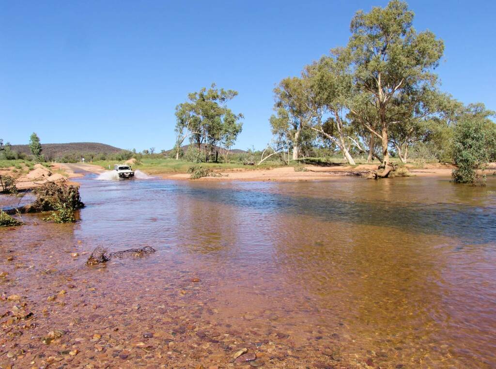
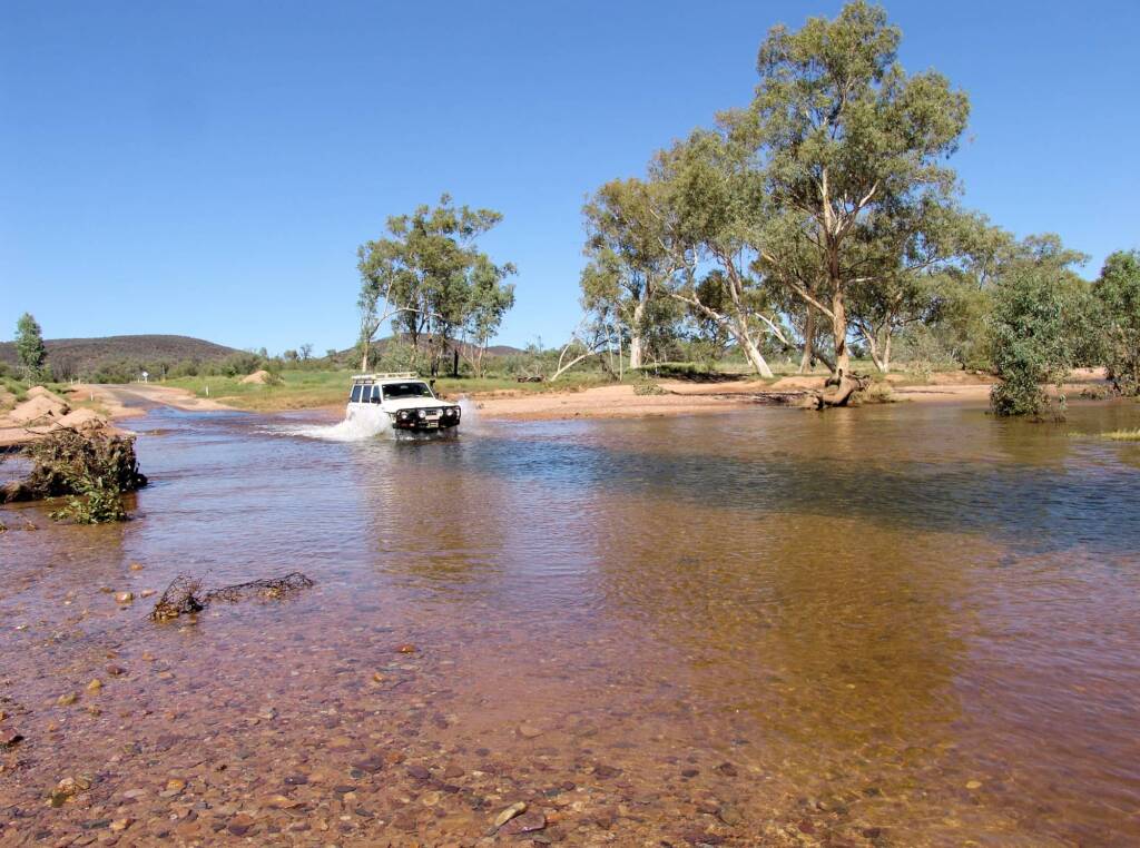
Often however, the river comes into its own when there is considerable rain, especially when the flow of the river is added to by its tributaries. The river then flows and traverses across the landscape and where roads have cut across dry river beds, the river now cuts across roadways, with some roads becoming impassable during periods of heavy flood, such as sometimes happens on Namatjira Drive in Central Australia (Northern Territory).


Footnote & References
- Map of Hugh River, NT – Bonzle.com, http://www.bonzle.com/c/a?a=p&p=212846&cmd=sp