
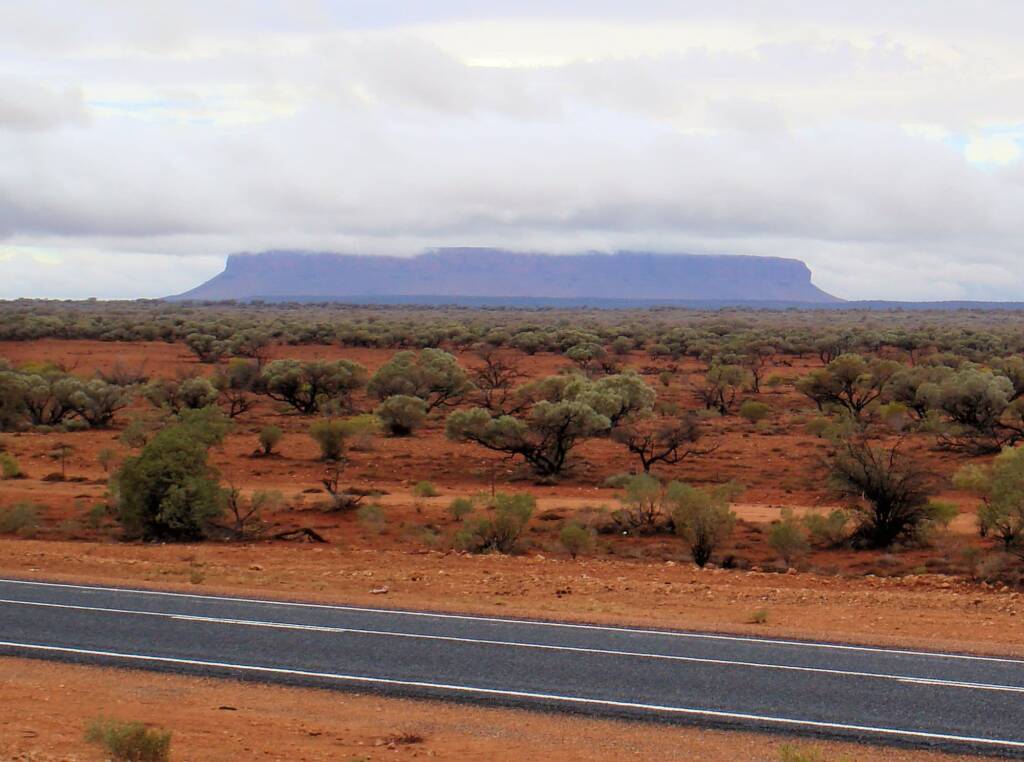
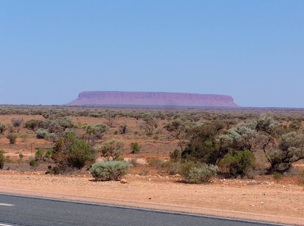
Visitors travelling to or leaving from Uluru and Kings Canyon, will no doubt see this spectacular rock formation, as they travel along the Lasseter Highway. Although it is travellers coming from Alice Springs and heading to Uluru, that on seeing the mysterious looking silhouette of Mount Conner appear on the horizon (during their long drive), get excited and wanting to get get photos.
There is the Lasseter Highway lookout that takes in the view of Mt Connor, providing the opportunity to stretch your legs and take photos. Located approximately 11 km east of Curtin Springs, where travellers can stop for a refreshment break.
“Mt Conner was named by exporer W C Gosse on 18.7.1873 after a minor South Australian Parliamentarian, Mountifort Longfield Conner. Mr Conner was the member for Light in the period 1871-73 during the ministeries of Hart, Blyth and Ayers. He resigned in 1873 and served as Chief Warden of the Goldfields in Darwin from October 1873 until his appointment was terminated in November 1874. Conner returned to Adelaide where he again became a MHA for Albert (Feb 1875 – June 1875)”
Copies of the NT Times and Gazette for January and February 1874 have his name as “M L Connor, the Chief Warden” whilst Coxan, Playford and Rieds Biographical Register of the South Australian Parliament 1857-1957 has him listed as: CONNER, Mountifort Longfield
The aboriginal name for Mt Conner is “Artilla” or “Attila”, and is believed to be associated with the legend of the “terrible ice-man”.
Source: Mount Conner, NT Place Names Register
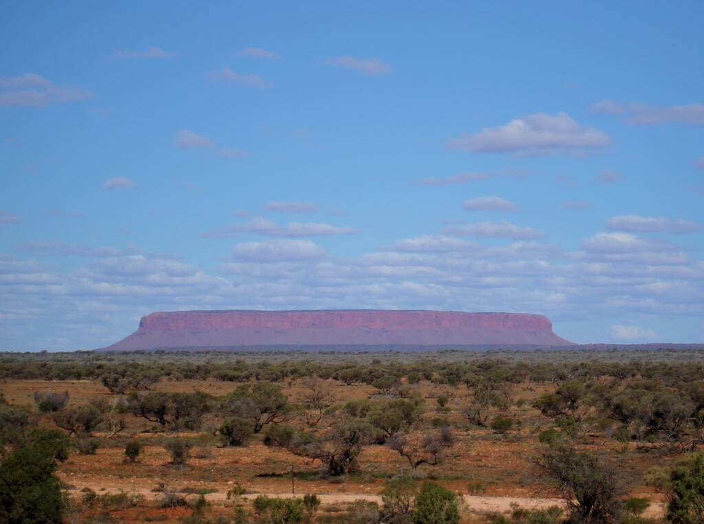
Mount Conner is a flat-topped and horseshoe-shaped rock rising some 859 metres above sea level and 300 metres above ground level. It is located southeast of Lake Amadeus, in the locality of Petermann in Pitjantjatjara country, close to the site of the Kungkarangkalpa (Seven Sisters) Dreaming.
Mount Connor is said to be 700 million-year-old sand and rock mesa, that lies in a straight line with Uluru and Kata Tjuta, part of the same rock formation stretching underground to include both Uluru and the domes of Kata Tjuta.
Did you know that Mount Connor has also been called by locals as “Fool-uru” or “Fuluru”. There is a laugh to be had when showing tourist around, with many been taken in and confusing Mount Connor with Uluru.
Mount Conner is on private land, Curtin Springs Station. A closer look can be had by booking on a tour.
Footnote & References
- Australia: The Land Where Time Began, A biography of the Australian continent, Author M. H. Monroe
- Mount Conner, NT Place Names Register, https://www.ntlis.nt.gov.au/placenames/view.jsp?id=15383
- Mount Conner, Wikipedia, https://en.wikipedia.org/wiki/Mount_Conner
- Mount Conner, Weebly, https://australian-landforms.weebly.com/uploads/2/4/6/3/24636610/mount_conner.pdf