
Ormiston Gorge & PoundOrmiston Gorge Fauna Ormiston Gorge Flora Ormiston Gorge Landscape
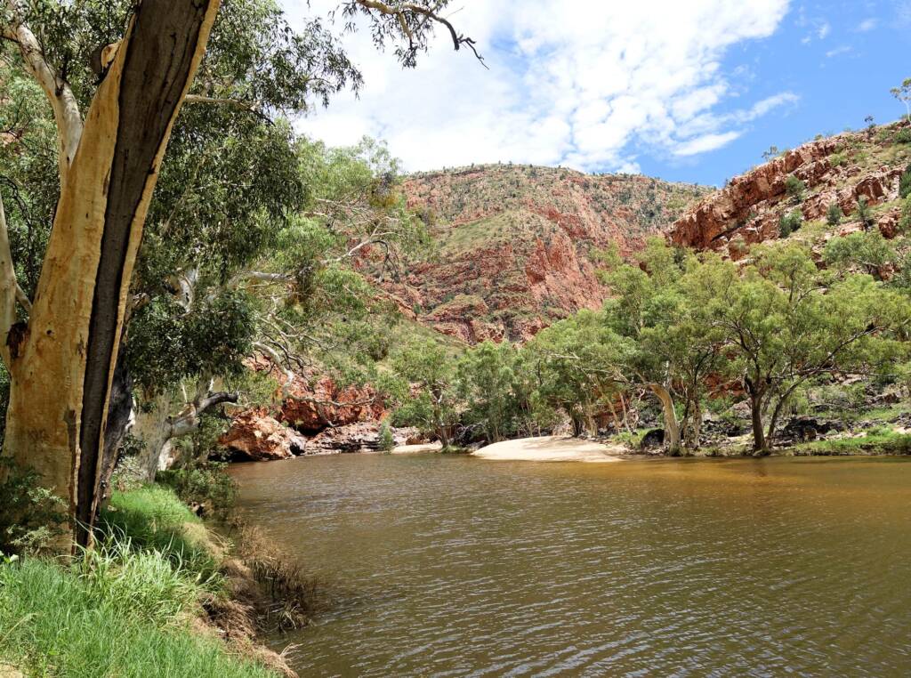
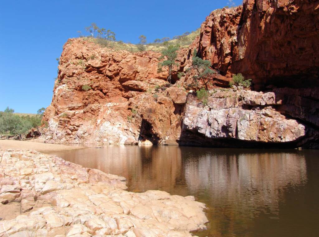
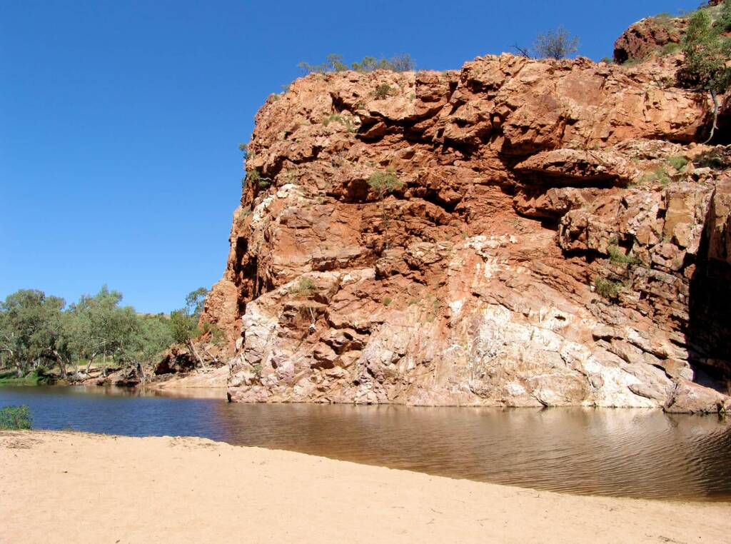
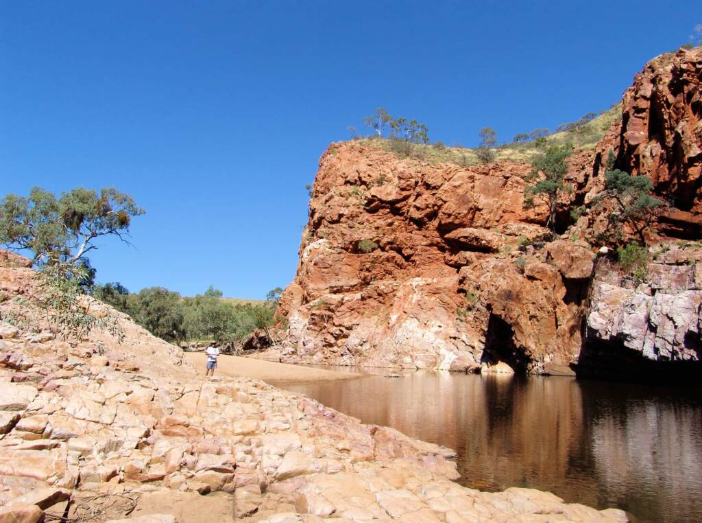
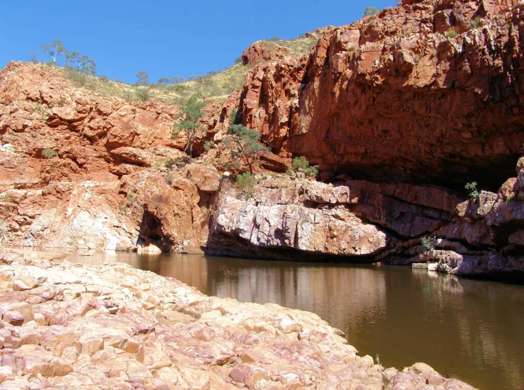
The Western Arrernte name for Ormiston is Kwartatuma (also spelt as Kwartetweme). Located in the western part of the MacDonnell Ranges, this region consists of a ridge of mountains and ranges forming an area known as Ormiston Pound.
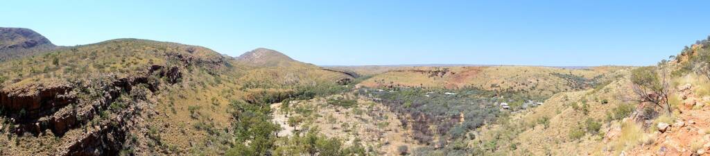
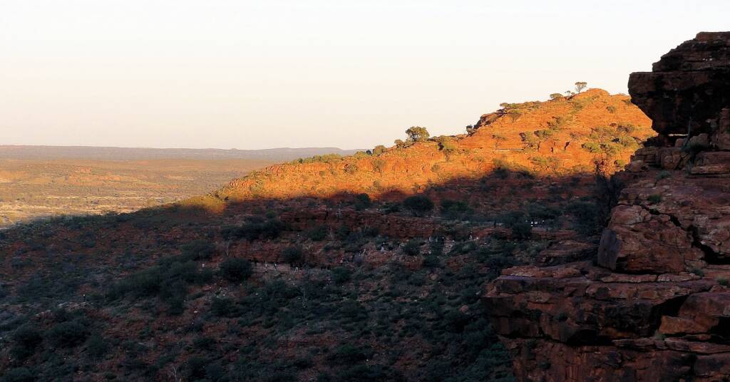
This landscape makes up part of the Larapinta Trail, dominated by Mount Giles on the eastern boundary, and Ormiston Gorge forming the western boundary. For those planning to trek the Ormiston Pound circuit, you will get to see sensational views of the Chewings Range and Mount Giles.
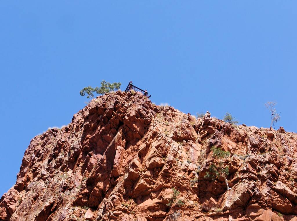
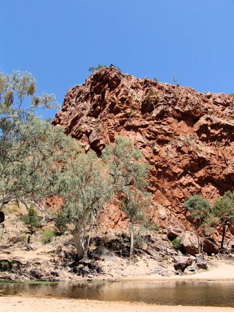
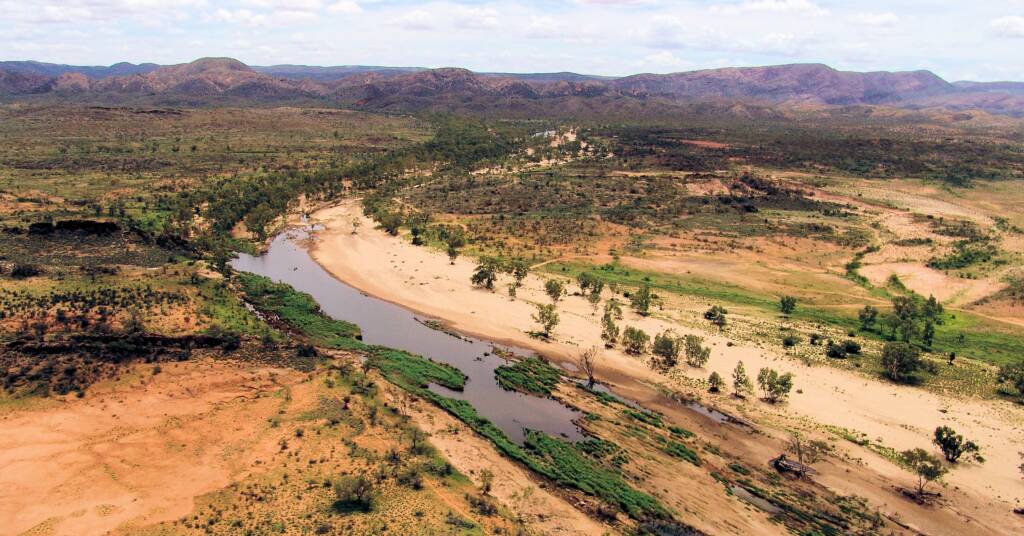
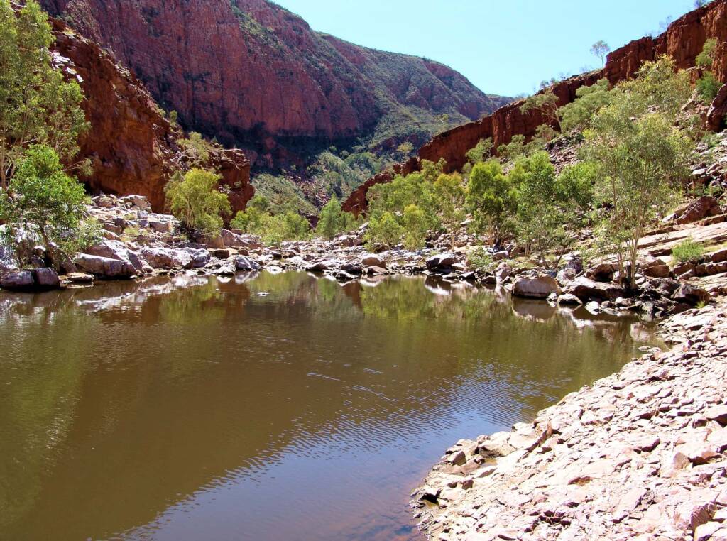
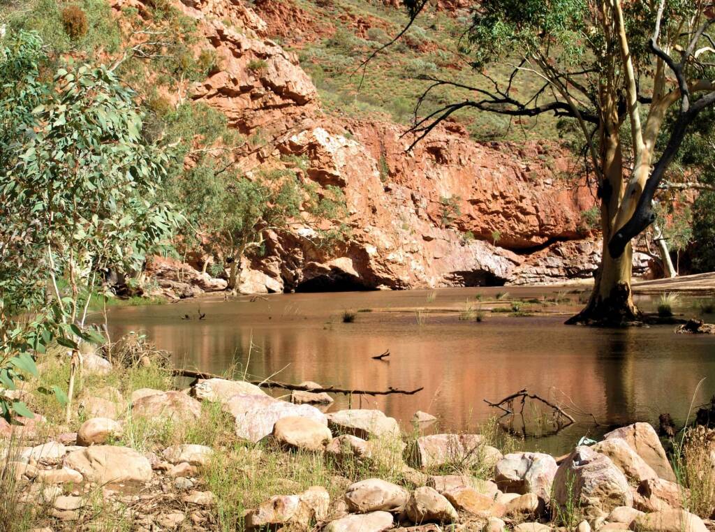
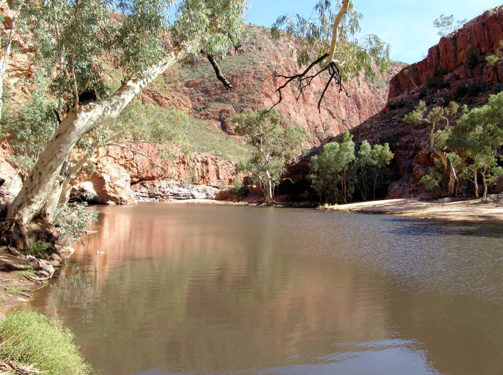
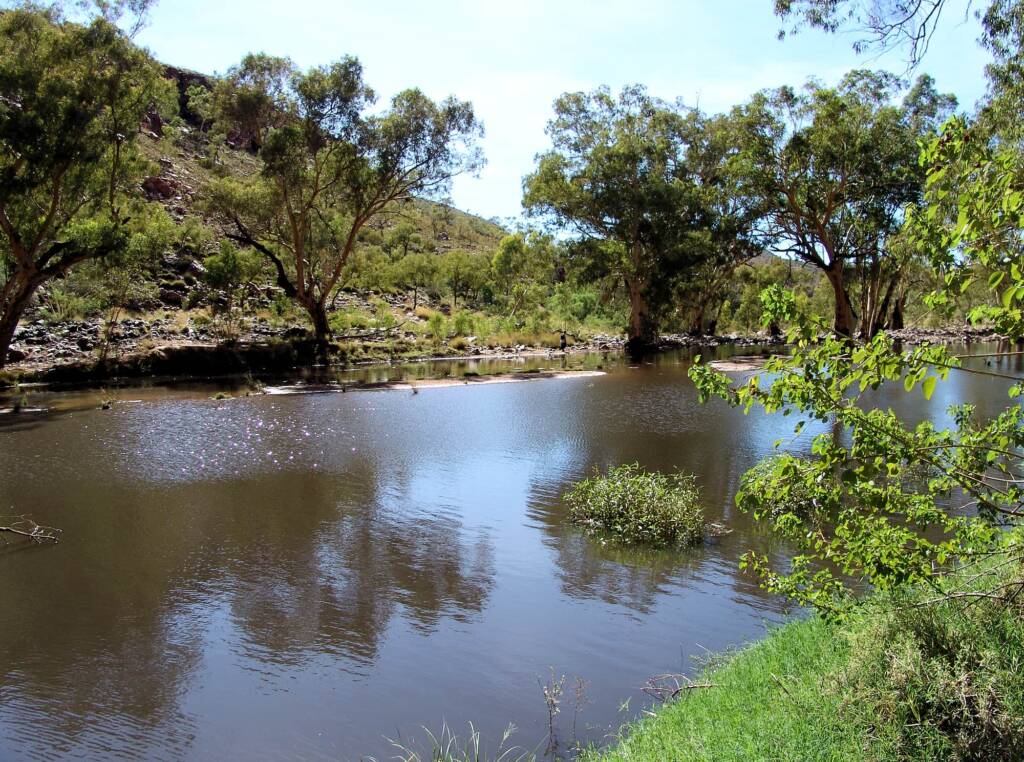
Ormiston Gorge is a a near-permanent waterhole, and during times of heavy rainfall, can get flooded out. It is spectacular to view the Finke River from certain vantage points, that is fed by water through the rivers and creek bed tributaries. Even during the dry, the region offers spectacular views of the escarpment and landforms.
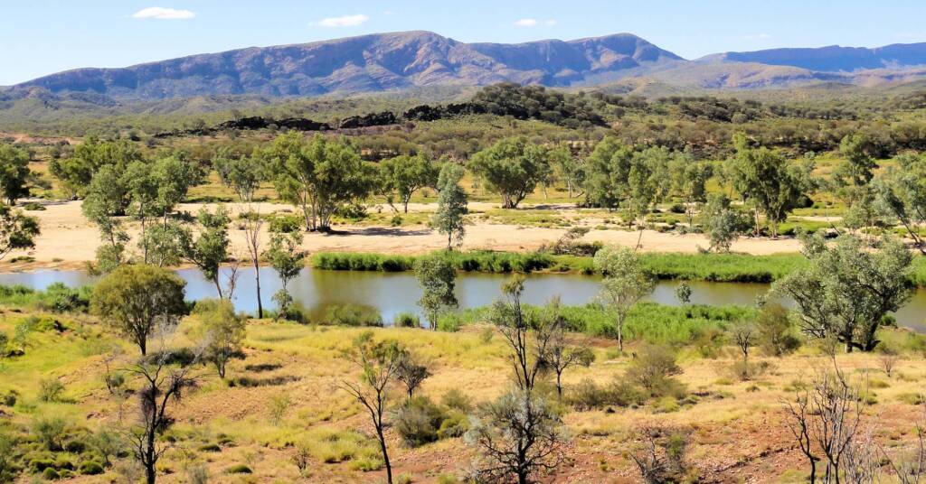
The Finke River passes Ormiston Gorge in the west and during times of rain, water can be seen in the river from the Mount Sonder Lookout.
For those lucky to visit during periods of good rainfall, the spectacular gorge and surrounds are a sight to behold and experience.

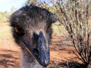
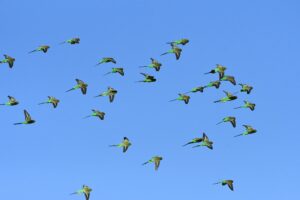
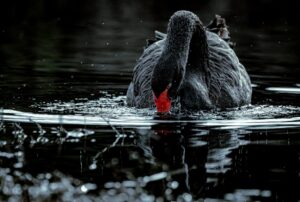
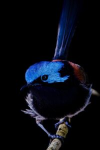
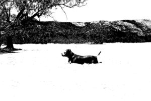
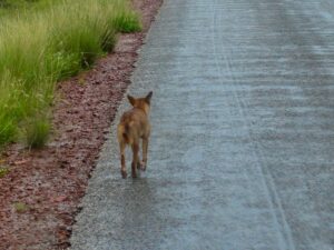
With relic plant species harking back to a distant tropical past, the park and region is home to the Long-tailed Dunnart and the Central Rock Rat.
Located only 135 km west of Alice Springs along the Larapinta and Namatjira Drives, the gorge is accessible to coach tours and 4WD. Glen Helen Resort is only 8 km away.
Ormiston Gorge & PoundOrmiston Gorge Fauna Ormiston Gorge Flora Ormiston Gorge Landscape
West MacDonnell RangesBirthday Waterhole Ellery Creek Big Hole Finke Two Mile Glen Helen Gorge Jay Creek John Flynn’s Grave Historical Reserve Laura Creek Larapinta Drive Mount Sonder / Rwetyepme Namatjira Drive The Neil Hargrave Lookout Ochre Pits Ormiston Gorge & Pound Point Howard Lookout Redbank Gorge Simpsons Gap
MacDonnell RangesEast MacDonnell Ranges West MacDonnell Ranges Tjoritja West MacDonnell National Park