Mountain CreekFlora Tall Forest
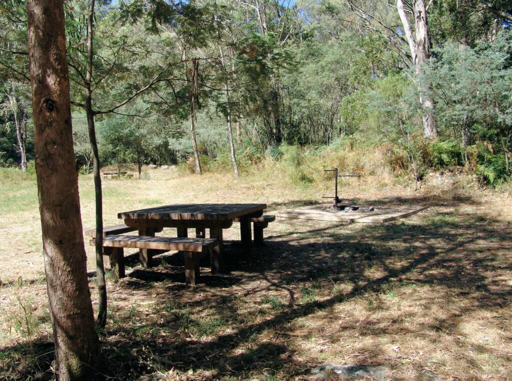
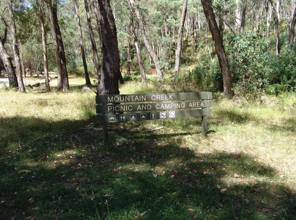
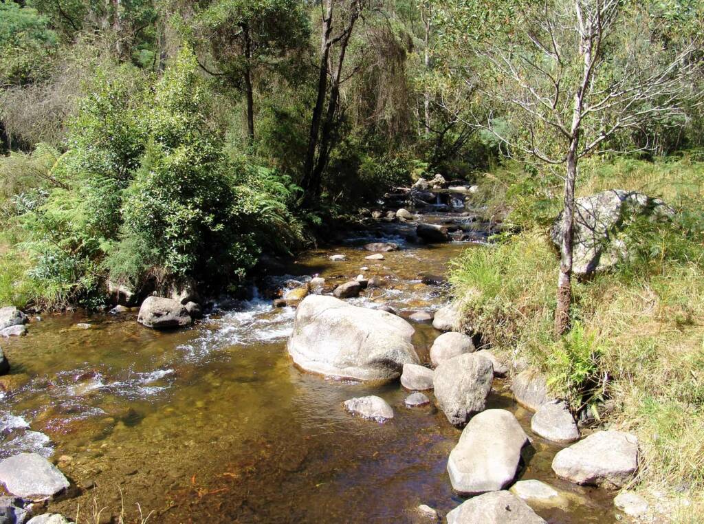
Part of the Alpine National Park, Mountain Creek is a great spot located 10.5 km along Mountain Creek Road from the Kiewa Valley Highway. At the bottom of the mountain is the Mountain Creek Picnic and Camping Area, standing there you will be at the base of Mount Bogong, the tallest peak in the Victorian Alps. Sometimes called the “Brooding Giant”, Mount Bogong stands as the northern sentinel of the nearby Bogong High Plains, separated from them by a deep valley.
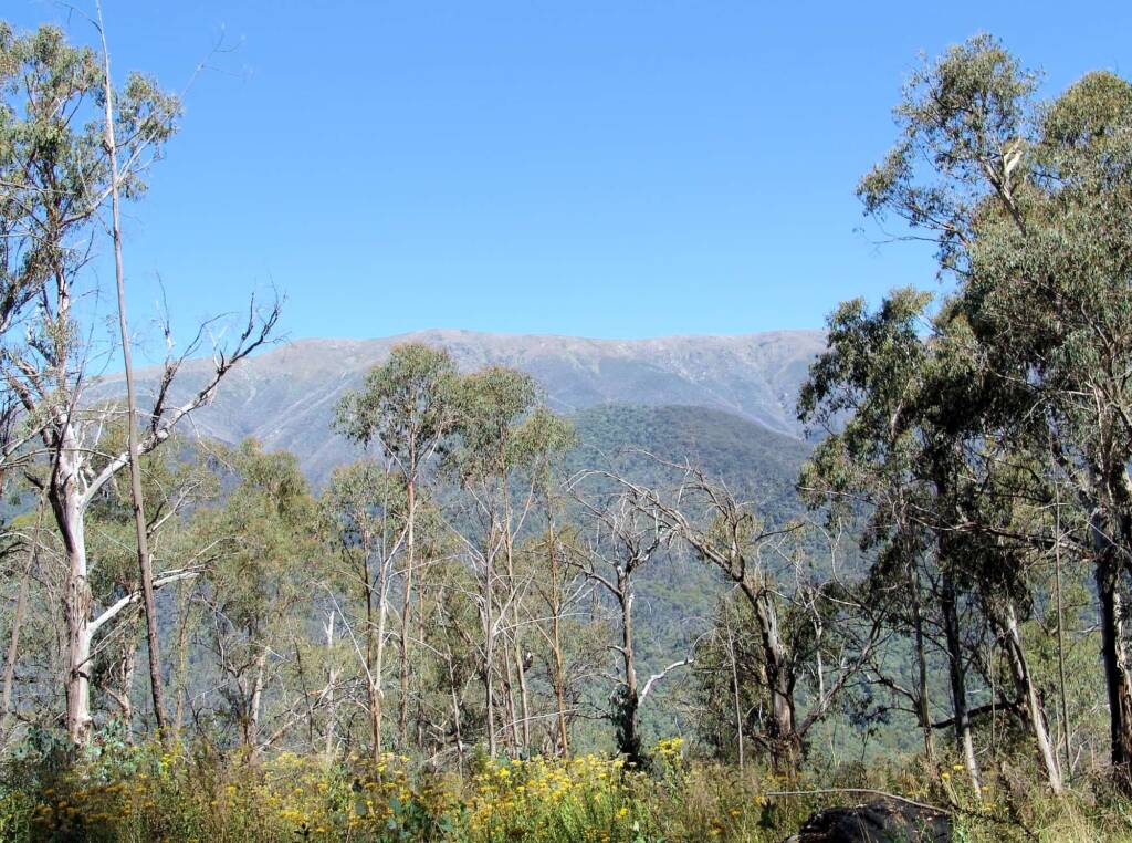
Mountain Creek Walks
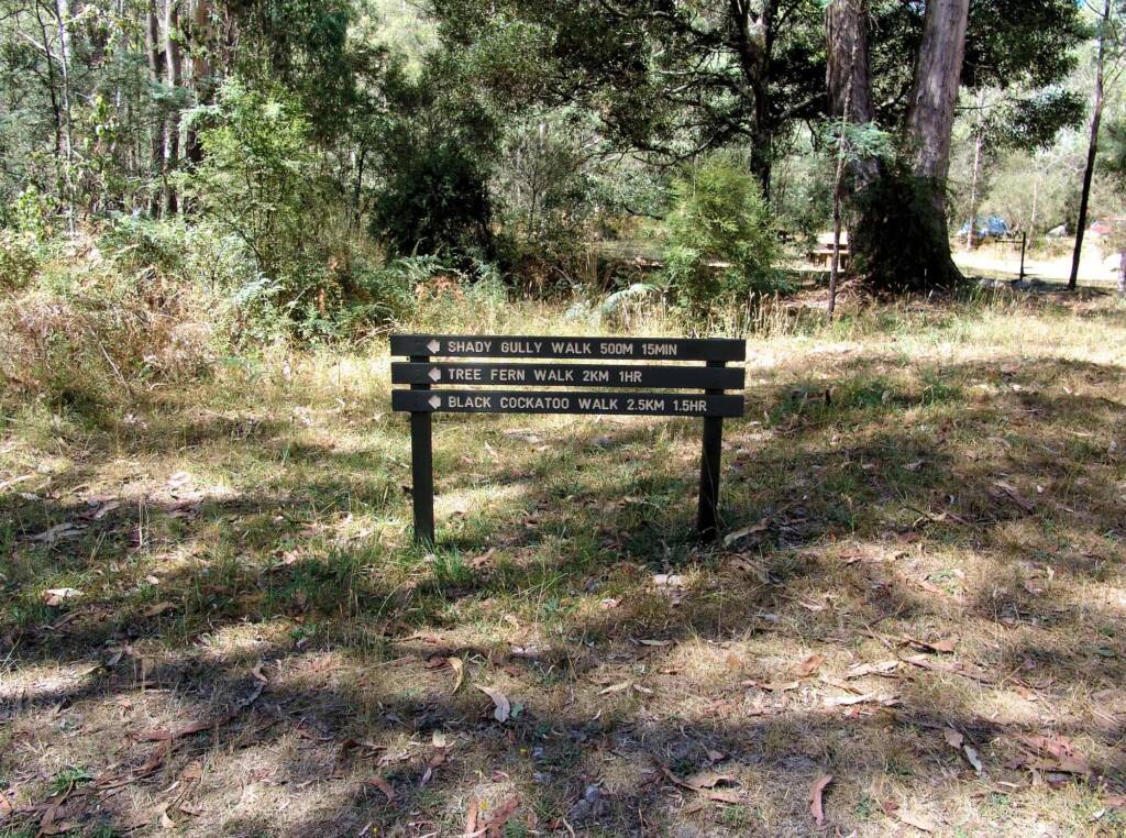
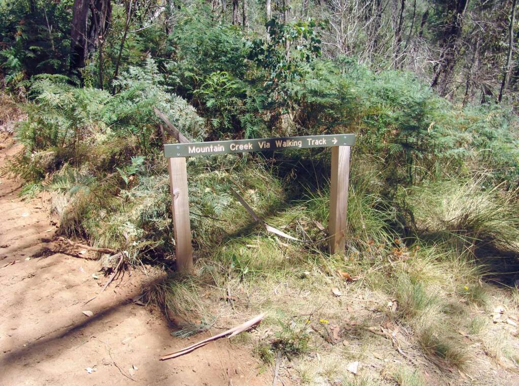
From the picnic and camping area, there are a number of walks and 4WD tracks. Walking track information can be picked up from the Mount Beauty information centre.
- Shady Gull Nature Walk – 0.5 km – Approx 15 minutes return – Easy
This short walk has information plaques along the track. - Tree Fern Walk – 2 km – 1 hour return – Medium
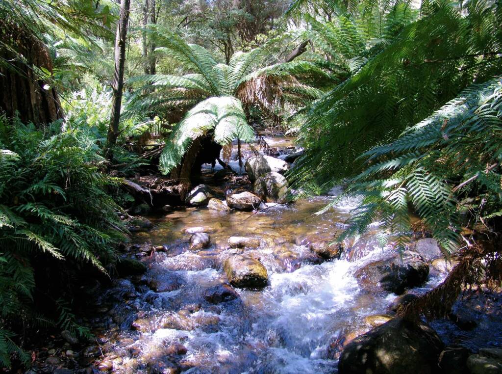
As the name suggest, this tracks weaves its way along fern gullies, following the creek. - Black Cockatoo Walk – 2.5 km – 1.5 hours return – Medium
This walk follows the track of the Tree Fern Walk. During spring and autumn, Yellow-tailed Black Cockatoos stop here in Shady Gully, moving to and from the high plains. Whilst here, they feed on grubs from tree trunks and exposed roots, as well as seeds from the surrounding banksia, wattle, she-oak, and eucalypt trees. Although they help the trees by eating wood boring grubs, they do tend to cause a bit of damage in the process. - Peppermint Walk – 2.5 km – 1.5 hours return – Medium
This tracks weaves through magnificent Peppermint Gums and takes you up to another picnic area. You also have the option to follow the Tree Fern Walk back.
Mount Bogong Walks
- Staircase Spur – 16 km – one hard day return – Hard
Starting at Mountain Creek picnic area this walk follows a vehicle track to the foot of the Staircase Spur, where the ascent begins through a forest of Peppermint Gums. The Bivouac Hut, about halfway along the climb, offers a welcome resting place before the track passes through Snow Gums and out onto the steep rocky ridge leading to the summit plateau.
The exposed treeless plain of the summit offers little shelter in poor weather; strong winds, fog, freezing temperatures, rain and snow are all common at this altitude. Navigation can be extremely difficult, so turn back at the treeline if conditions are poor or deteriorating. - Eskdale Spur – 8 km – 6 hours return – Hard
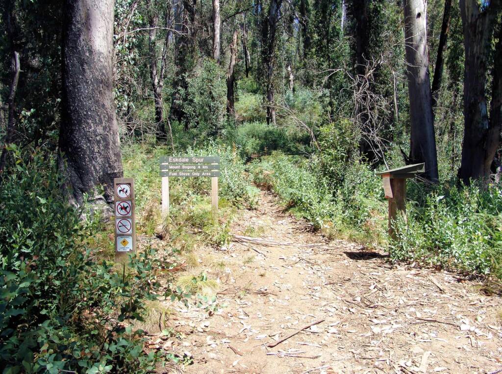
Follow the track up Mountain Creek past the bottom of the Staircase Spur for approximately 5.5 km to Camp Creek Gap. (It is also possible to access Camp Creek Gap in a 4WD vehicle along Eskdale Spur Track from Trappers Gap).
The track climbs steeply up the Eskdale Spur past Mitchell Hut to the treeline where the track intersects with the Granite Flat Track. Once the shelter of the Snow Gums is left behind the remainder of the walk is very similar to the exposed rocky ascent of the Staircase onto the summit plateau.
Please note all times are approximate only.
Source: Parks Victoria and national park signage
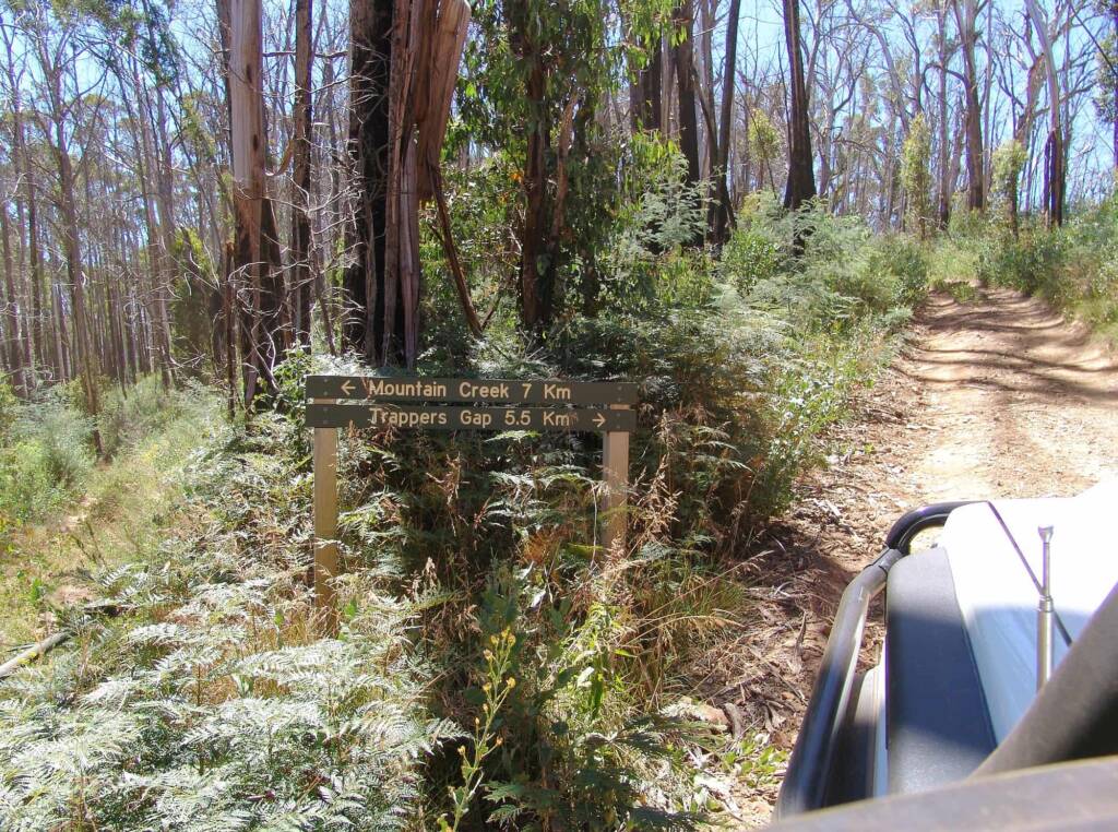
This was the 4WD track down to Mountain Creek (7 km) or Trappers Gap (5.5 km).
For information about this area and the surrounding region contact the local tourism visitor centre in Bright or Mount Beauty.
Victorian Alpine Region > Beechworth | Benalla | Chiltern | Corryong | Eildon | Falls Creek | Glenrowan | Harrietville | King Valley & Milawa | Kinglake | Lake Mountain | Mansfield | Mount Beauty | Mount Buffalo | Mount Buller | Mount Stirling | Mountain Creek | Rutherglen | Tallangatta | Yackandandah | Yea
Great Alpine Road > Alpine National Park | Bairnsdale | Bright | Dinner Plain | Harrietville | Lakes Entrance | Mount Hotham | Myrtleford | Omeo | Oxley | Porepunkah | Wangaratta ◦ Other regions: Victoria’s High Country | NSW Snowy Mountain Region
Other towns, villages and localities in the Great Alpine Road include: Bruthen • Ensay • Eurobin Falls • Everton • Ovens • Swifts Creek • Tarrawingee
Footnote & References
- Alpine National Park, Parks Victoria, https://www.parks.vic.gov.au/places-to-see/parks/alpine-national-park
- Flora of Victoria, VICFLORA, Royal Botanic Gardens Victoria, https://vicflora.rbg.vic.gov.au/
Mountain CreekFlora Tall Forest
VictoriaAlpine National Park Bright Dinner Plain Falls Creek Glenrowan Great Alpine Road Great Ocean Road Kyabram Mount Beauty Mount Buffalo Mount Hotham Mountain Creek Phillip Island Sullivans Lookout Victorian Alpine Region Victoria’s High Country Wilsons Promontory National Park
