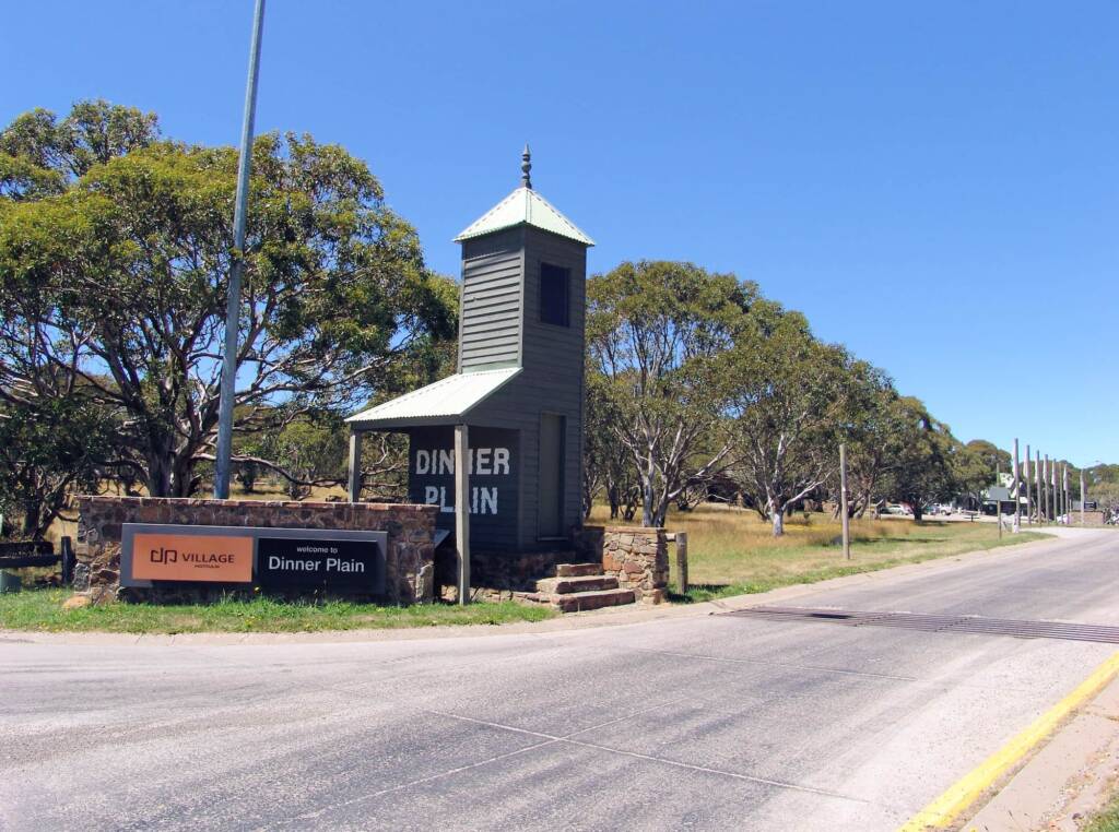
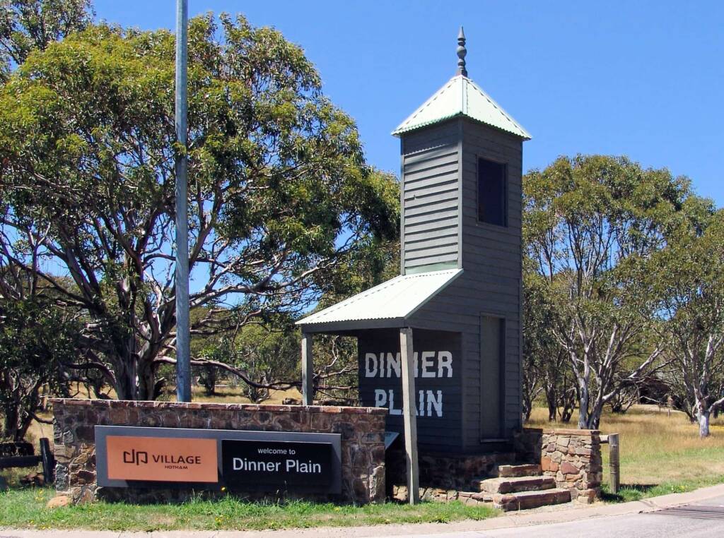
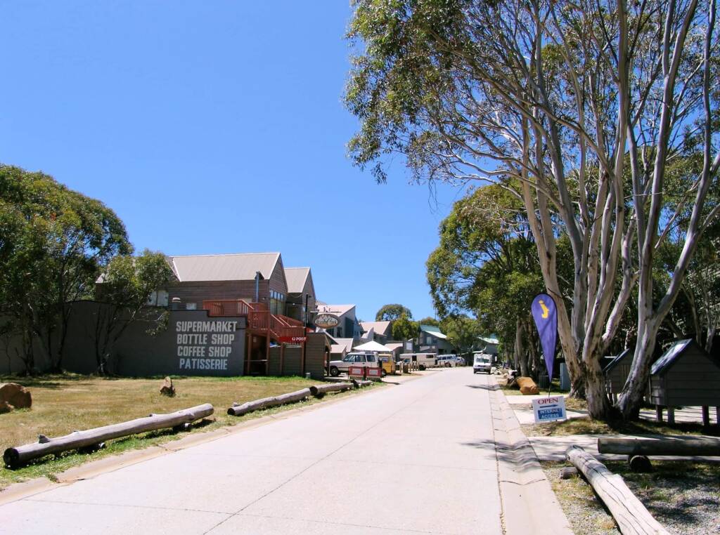
Located on the Great Alpine Road and promoted as the gateway to the Victorian Alpine, Dinner Plain offers an all season mountain resort with shops, restaurants, bars and a range of accommodation. Summer activities include day walks, bush tracks, mountain bike riding, tennis, golf, white-water rafting, high country horse riding, and mountain stream trout fishing.
Winter transform the landscape into a white winter wonderland that includes 16 kms of cross-country trails for downhill skiing and cross country skiing, a beginner’s downhill ski slope and ski school, a toboggan run, and a regular shuttle bus service to Mount Hotham.
Dinner Plain Flora
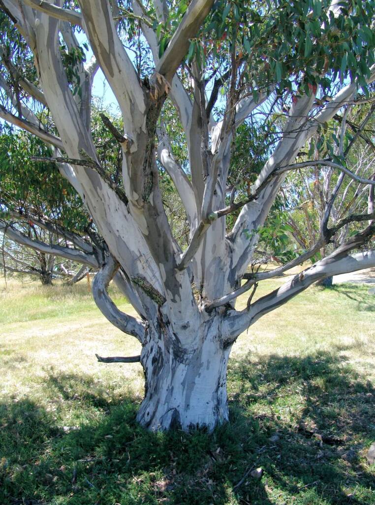
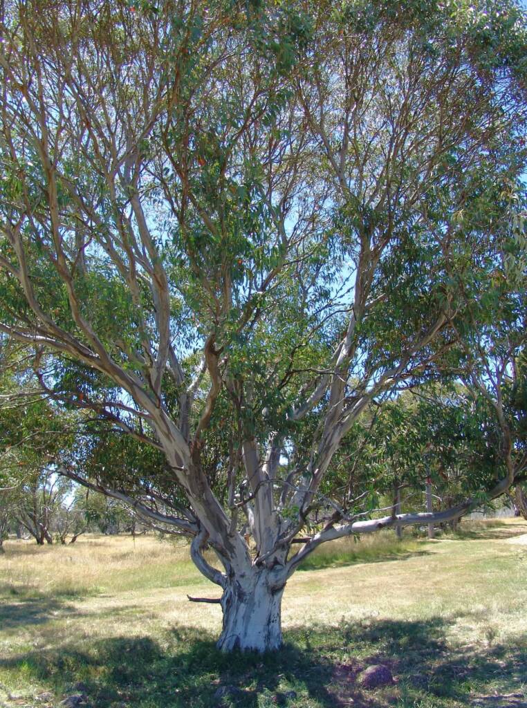
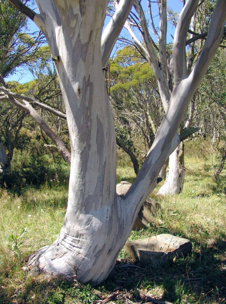
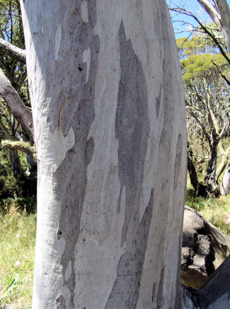
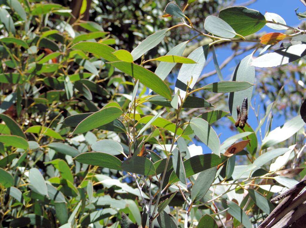
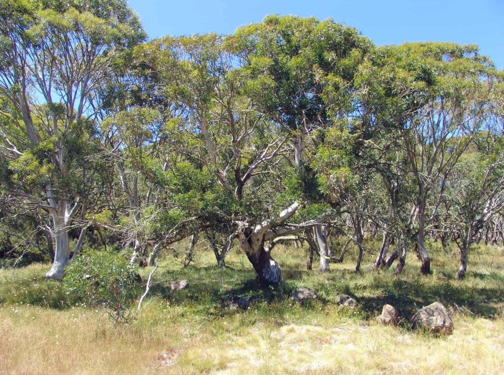
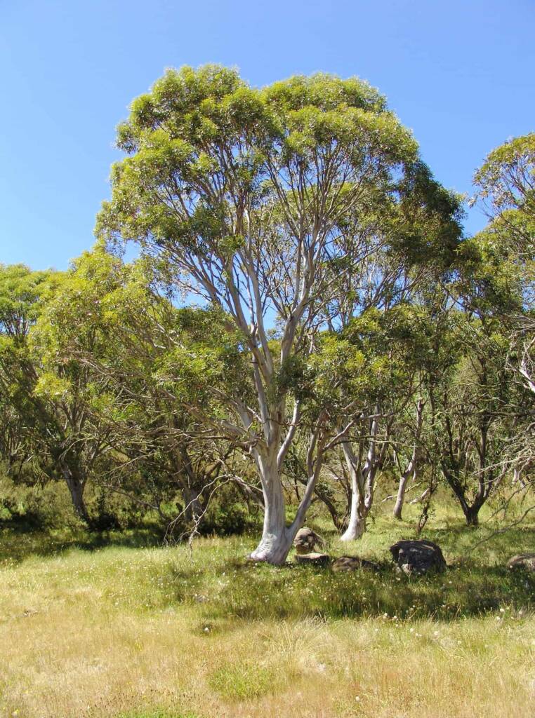
The region offers scenic landscape of Snow Gum woodlands and forests, mature Mountain Tea Tree bushland, snow grass plains, wetlands, alpine rivers and streams. Other plants seen in the region include Grass Trigger plant (Stylidium graminifolium), Alpine Pepper (Tasmannia xerophila), Mother Shield Fern (Polystichum proliferum), Tasman Flax-lily (Dianella tasmanica), Mountain Tea Tree (Leptospermum grandifolium).
The Australian Snow Gums are an iconic tree of the alpine regions, although they are also found throughout Victoria, New South Wales, Australian Capital Territory, Tasmania, just over the Queensland border and a some localities in South Australia (near Mount Gambier). In Victoria they are found mainly in the sub-alpine woodlands areas, with 6 subspecies of Snow Gum that are recognised. The most widespread of the Snow Gum is Eucalyptus pauciflora subsp. pauciflora.
Dinner Plain Walks and Bush Trails
There are easy family day walks or the more challenging bush trails. With over 15 km of walks your choices range from walks around the village, a guided walk to Mount Tabletop or a cross-country trail to Mount Hotham, 11 kms away. from around the village. The walking season usually occurs between early November until late April. Outside this period winter and early spring, it is usually snow covered or too wet. Following are a selection of walks with many other possibilities to choose from:
- Hotham – Dinner Plain ‘Ski’ Trail — 10 km one way — Starting at Dinner Plain Village and finishing at the Hotham General Store this trail is never far from the Great Alpine Road. The walk meanders through snow gum woodland and open snow plains.
- Mount Tabletop — 10 km return — Mount Tabletop is a distinctive flat plateau linked to the Great Dividing Range by a low ridge. In this untracked area of the Dargo River, there is a distinct feeling of isolation. From JB Plain, walk (follow the old fence line) south across the Plains for approximately 0.5 km. From here the route is marked by orange triangular markers. After crossing small snow plains and snow gum woodland the route drops down to Tabletop Creek then follows a long ridge up to the plateau. The track is marked to a rocky outcrop just below the summit. Return by the same route.
- Carmichael Falls — 2 km return — The walk starts at the sign post n the Dinner Plain (4WD) track directly south of the Dinner Plain Village. the track leads to a lookout over picturesque falls among the snow gums. DO NOT LEAVE HE TRACK OR APPROACH THE CLIFF.
- Precipice Plain — 9 km return — Walk or bike ride along the Dinner Plain Track to a lookout across the remote Dargo Valley.
- Fitzy’s Circus — This short walk take you past some of Diner Plains unique architecture.
- Oritey’s — Stretch your legs out around Oritey’s – go through the gate and follow the orange markers. Look out for the Alpine Orites (a small ‘heathy’ shrub) common in snow gum woodland, chiefly among rocks.
- Dinner Plain Loop — This loop takes you past snow gums and wildflowers. Part of the Dinner Plain Loop is named after Alice Mansfield who shared her love and keen observations of Mount Buffalo with many early tourists to the area and remains one of the Alps most famous women. For a shorter walk, follow Vera Houghton – return to the Village via the Appian Way.
The average fit person can walk approximately 3 kilometres per hour, although extra time must be given for steep climbs, taking photographs and rest stops. When bush walking, observe minimal impact guidelines.
Source: Dinner Plain, Pure High Country, The Gateway to Alpine Victoria 1
Victorian Alpine Region > Beechworth | Benalla | Chiltern | Corryong | Eildon | Falls Creek | Glenrowan | Harrietville | King Valley & Milawa | Kinglake | Lake Mountain | Mansfield | Mount Beauty | Mount Buffalo | Mount Buller | Mount Stirling | Mountain Creek | Rutherglen | Tallangatta | Yackandandah | Yea
Great Alpine Road > Alpine National Park | Bairnsdale | Bright | Dinner Plain | Harrietville | Lakes Entrance | Mount Hotham | Myrtleford | Omeo | Oxley | Porepunkah | Wangaratta ◦ Other regions: Victoria’s High Country | NSW Snowy Mountain Region
Other towns, villages and localities in the Great Alpine Road include: Bruthen • Ensay • Eurobin Falls • Everton • Ovens • Swifts Creek • Tarrawingee
Footnote & References
- Dinner Plain, Pure High Country, The Gateway to Alpine Victoria, Alpine Shire, https://www.visitdinnerplain.com.au/
- Victoria’s High Country – Visitor Information Centres, https://www.victoriashighcountry.com.au/visitor-information-centres/
- Montane Walking Track & Montane Loop, Dinner Plain Track Notes, https://www.visitdinnerplain.com.au/wp-content/uploads/sites/45/Track_Notes-_Montane_WEB.pdf
- Alpine Shire – the shire site has plenty of information for visitors including attractions, maps, festivals and events, https://www.alpineshire.vic.gov.au/
VictoriaAlpine National Park Bright Dinner Plain Falls Creek Glenrowan Great Alpine Road Great Ocean Road Kyabram Mount Beauty Mount Buffalo Mount Hotham Mountain Creek Phillip Island Sullivans Lookout Victorian Alpine Region Victoria’s High Country Wilsons Promontory National Park

