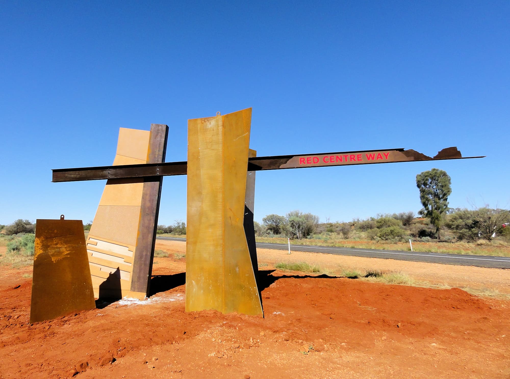
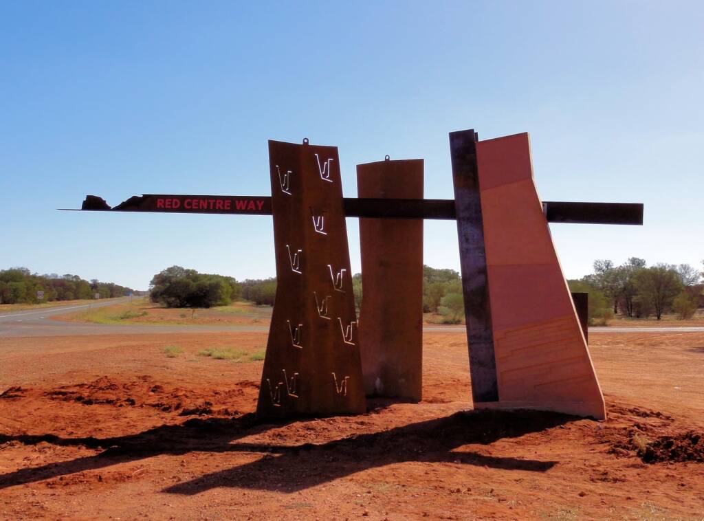
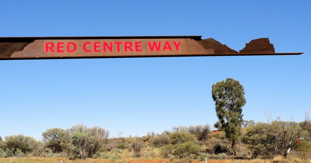
Red Centre Way DriveRed Centre Way Distance Mereenie Loop
The ‘Red Centre Way’ is a tourism experience connecting travellers from Alice Springs, through the West MacDonnell Ranges and the West MacDonnell National Park, Hermannsburg, Kings Canyon in Watarrka National Park, to Uluru-Kata Tjuta National Park.
Promoted as the ‘Red Centre Way’, it is a road network that takes in the Namatjira Drive, Mereenie Loop, Luritja Road and the Lasseter Highway.
Much of the route is sealed road, except for the Mereenie Loop Road that connects to Namatjira Drive and the side road taking in Tnorala and Redbank Gorge, which are still unsealed and requires off road 4WD vehicles.
During and after any seasonal wet periods, many sections can get cut off by flood water and unsealed road may become impassable for some time.
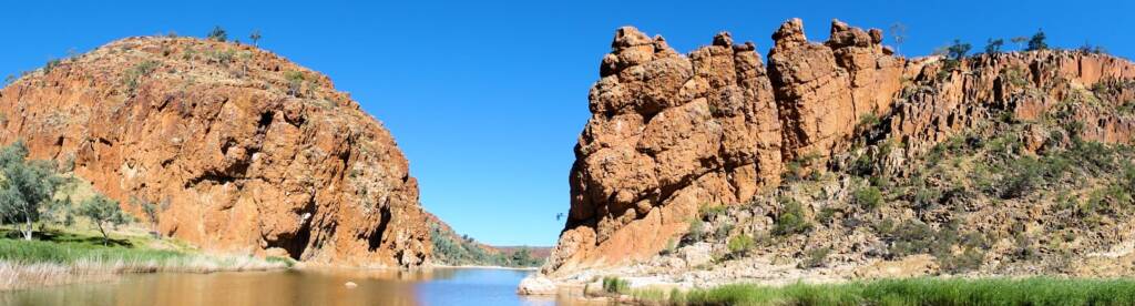
The ‘Red Centre Way’ provides an opportunity for the visitor to experience the ‘real Central Australia’, taking in the spectacular scenery, immersing yourself in local Aboriginal culture, connecting with nature in the unique flora and fauna, and leaving with memories of a journey through red desert sands, spinifex, desert oaks, mulga, ghost gums, river red gums, gaps, chasm, gorges and permanent waterholes.
Whether you want to explore the region in 5 days, or take your time and spend 2 weeks or longer in the ‘Red Centre’, it’s your choice and make sure you pack the camera!!
Red Centre Way Attractions
Some of the must-see attractions along the Red Centre Way include:
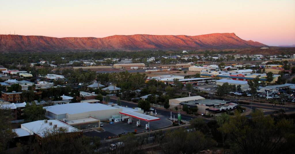
- Alice Springs
Considered the heart of Central Australia, Alice Springs sits between the spectacular East and West MacDonnell Ranges. With its unique pioneering history, flora and fauna attractions such as the Alice Springs Desert Park, Olive Pink Botanic Garden and Alice Springs Reptile Centre, galleries filled with beautiful indigenous art, there is no shortage of things to see and do in Alice. Check out our listing of the many other activities and attractions in the Alice Springs and the wider Central Australia region.
- Simpsons Gap
Just 26 km west of Alice Springs, Simpsons Gap has a historic significance and is home to a resident population of rock wallabies. There is also a number of frogs species found here, although these are only seen when conditions are right.
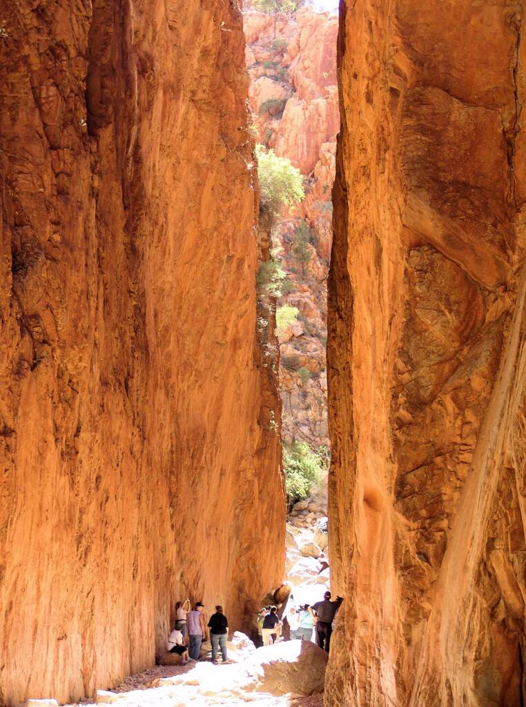
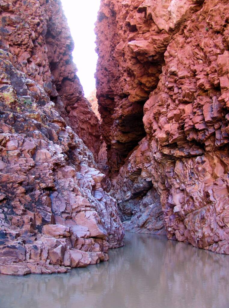
- Standley Chasm
Called Angkerle by the Aborigines, Standley Chasm is located in a private flora and fauna reserve owned by the Iwupataka Land Trust. Gouged from tough sandstone by floods that, over untold millions of years, have surged down a narrow tributary of the Finke River system, Standley Chasm is a deep cleft, with slopes on either side rising 80 metres above the floor. The Chasm is at its most dramatic an hour either side of noon on a sunny day. Then when the desert sun is perfectly aligned at noon, the sheer walls of Standley Chasm glow a brilliant red light from the reflected sunlight.
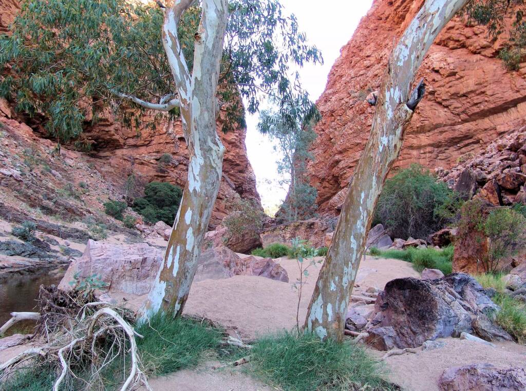
- Ellery Creek Big Hole
Part of the Finke River system, Ellery Creek is one of the largest permanent waterholes in the West MacDonnell National Park. The waterhole is a great place for a swim or just to relax on a hot day, although swimmers should take care, as the water is deep, and during the winter, extremely cold. For your own safety, do not climb or jump from rocks.
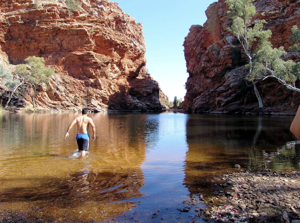
- Ormiston Gorge
Just down the road from Glen Helen is Ormiston Gorge, where for the more active, you can take a hike up the gorge to spectacular views stretching across the West MacDonnell Ranges. There are also a number of other short walks, one of which takes you down to the waterhole.

- Glen Helen Gorge
With its permanent waterhole, Glen Helen Gorge provides a great overnight stop along the Mereenie Loop Road. Travellers can stay at the nearby Glen Helen Resort and Homestead, which is set at the base and against the gorgeous cliffs leading into the gorge. There are motel style accommodation, powered sites or ‘rough it’ under the stars in well maintained campgrounds, as well as restaurant and bar facilities. Helicopter rides of various lengths are also available, providing a unique perspective on the surrounding landscape.
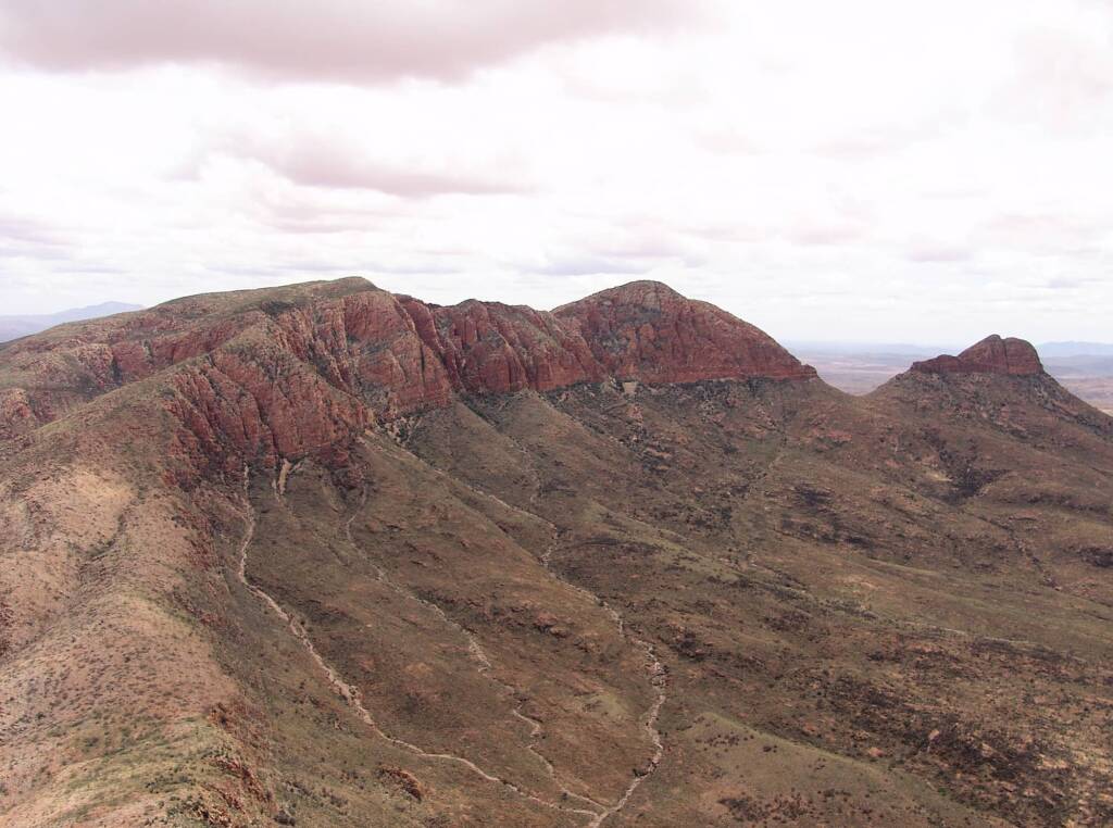
- Mount Sonder
To the local Western Arrernte Aboriginal People the Mount Sonder area, or Rwetyepme (roo – choop – ma), is criss-crossed with the tracks of their dreamtime ancestors. The main story for Rwetyepme is the Man / Euro (Hill Kangaroo) ‘dreaming’, told on signs at Redbank Gorge. The colours of Mount Sonder vary throughout the day, from a spectacular red to a deep purple, and were captured in paintings by the Arrernte watercolourist Albert Namatjira during the 1940s and 1950s.
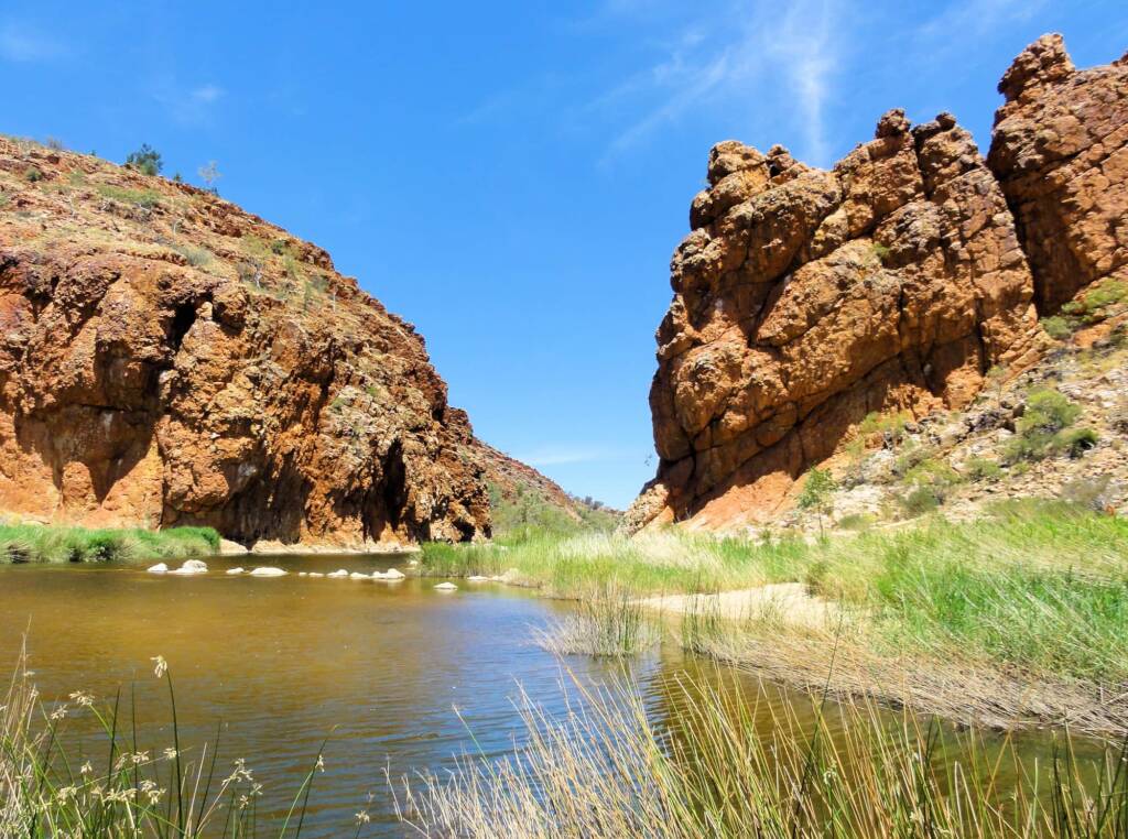
- Redbank Gorge
Located at the western end of the West MacDonnell National Park, just 157 km west of Alice Springs, the narrow gorge through the red quartzite range offers relief with a number of waterholes. A great place to explore and there are camping facilities.
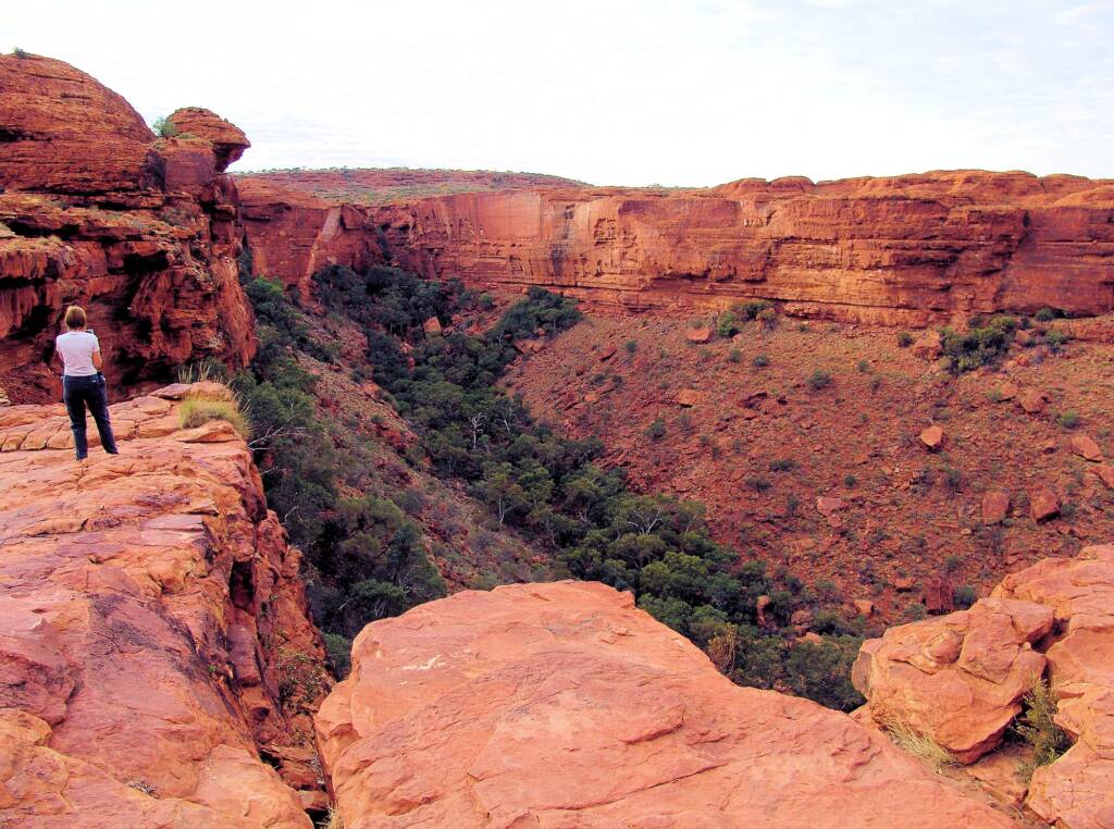
- Watarrka National Park
Home to the renown natural attraction Kings Canyon, a chasm some 270 metres deep featuring ancient sandstone walls rising up to a plateau of weathered domes. The 6 km rim walk offers an opportunity to take in the magnificent views, from the plateau of rocky domes known as ‘the Lost City’, down into the cool sheltered valley and permanent waterhole of the ‘Garden of Eden’.
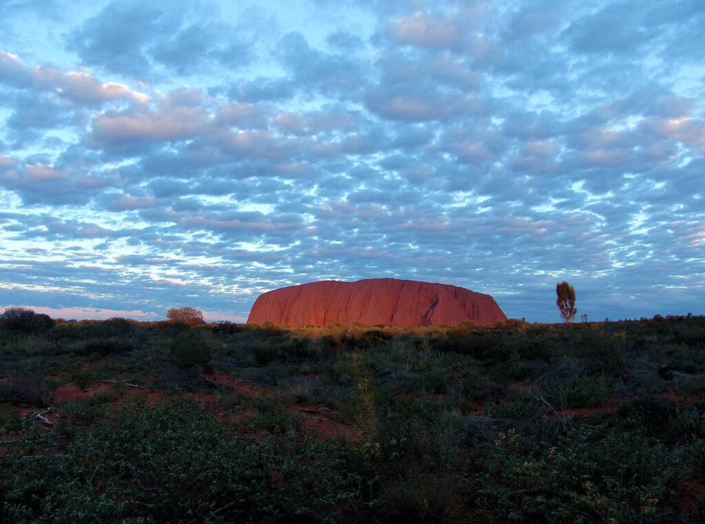
- Uluru-Kata Tjuta National Park
Two of Australia’s most famous outback icons and culturally significant landmarks from which the park gets its name, Uluru and Kata Tjuta, are located here. This is traditional land of the Anangu Aboriginal and is a site of deep cultural significance to the local Anangu Aboriginals.
Footnote & References
- Road Report NT, The Road Report Website provides up-to-date road condition information on all Government controlled roads, https://roadreport.nt.gov.au/home
- Road rest stops in NT, NT Government, https://nt.gov.au/driving/safety/road-rest-stops-in-nt